May 25, 2021 - Day Six, Flight Two, Part Three
Goosenecks, San Juan River, Rainbow Bridge
|
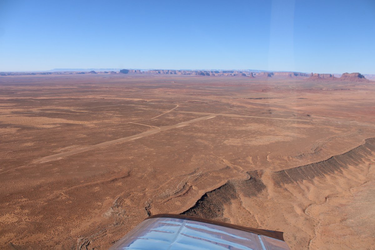
| From Monument Valley I headed northeast to Gooseneck State Park and the San Juan River. Actually, the San Juan River continues to the east all the way to Farmington and beyond. I'll have to fly the east portion someday. But not today. |
| |
 |
|
|
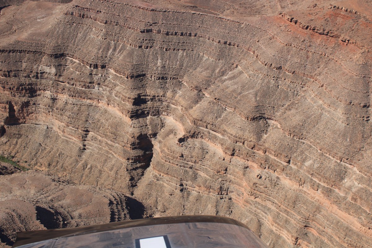
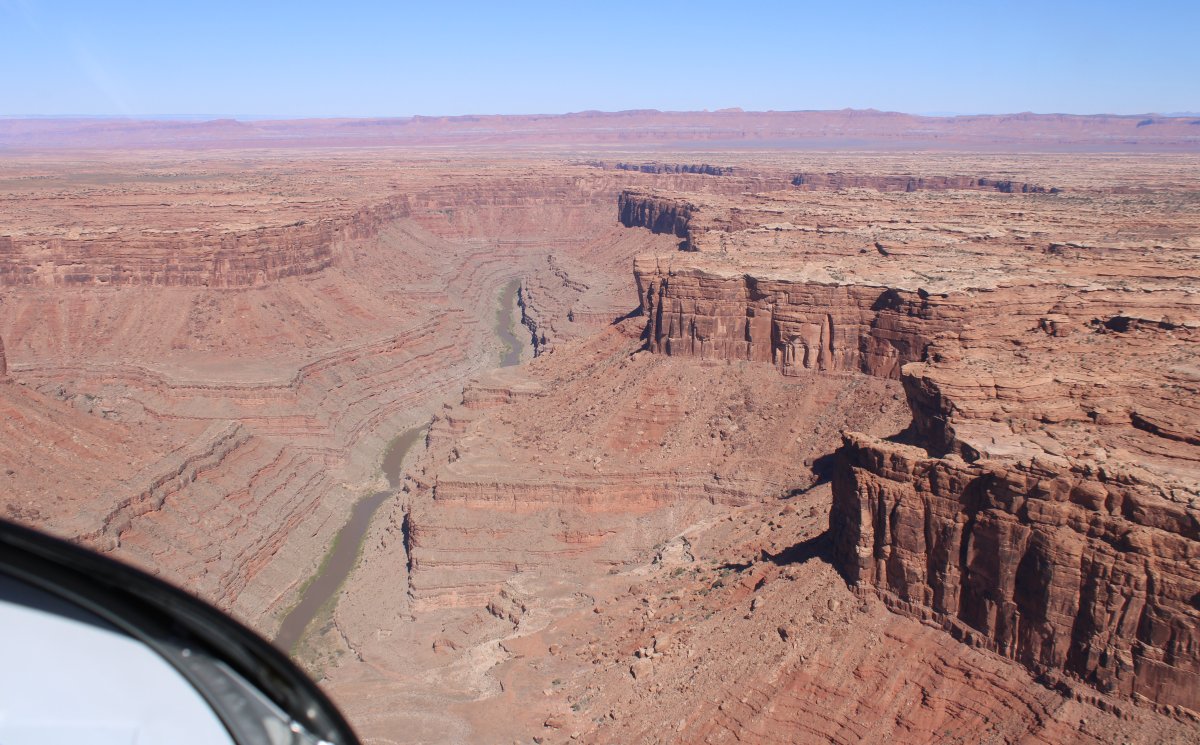
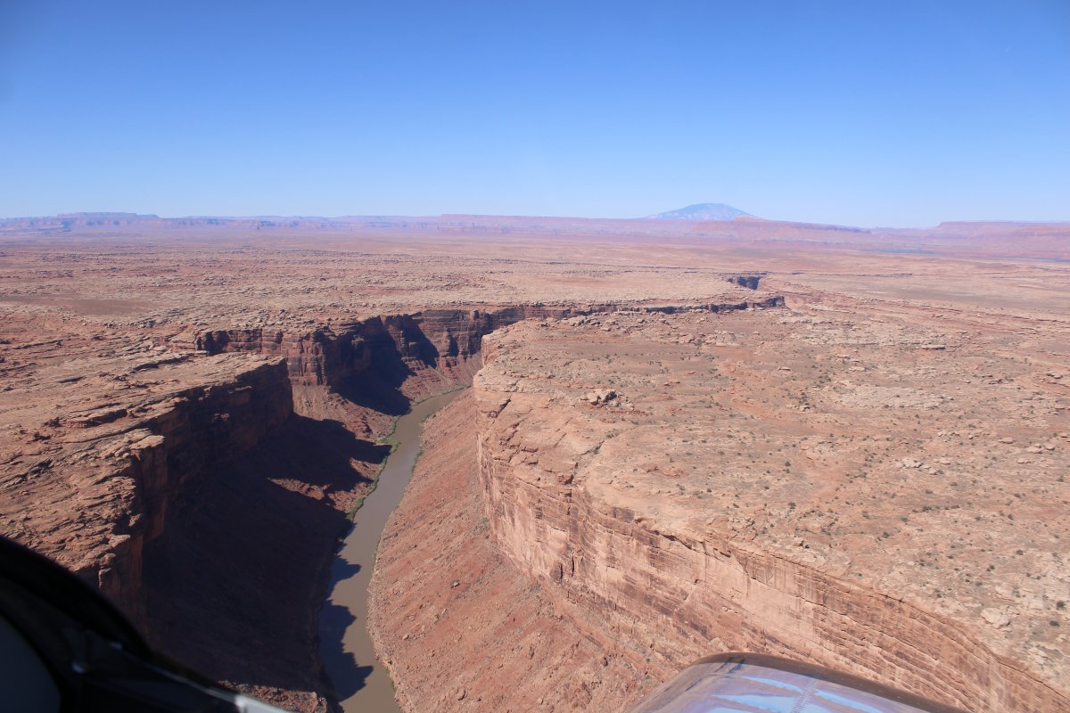
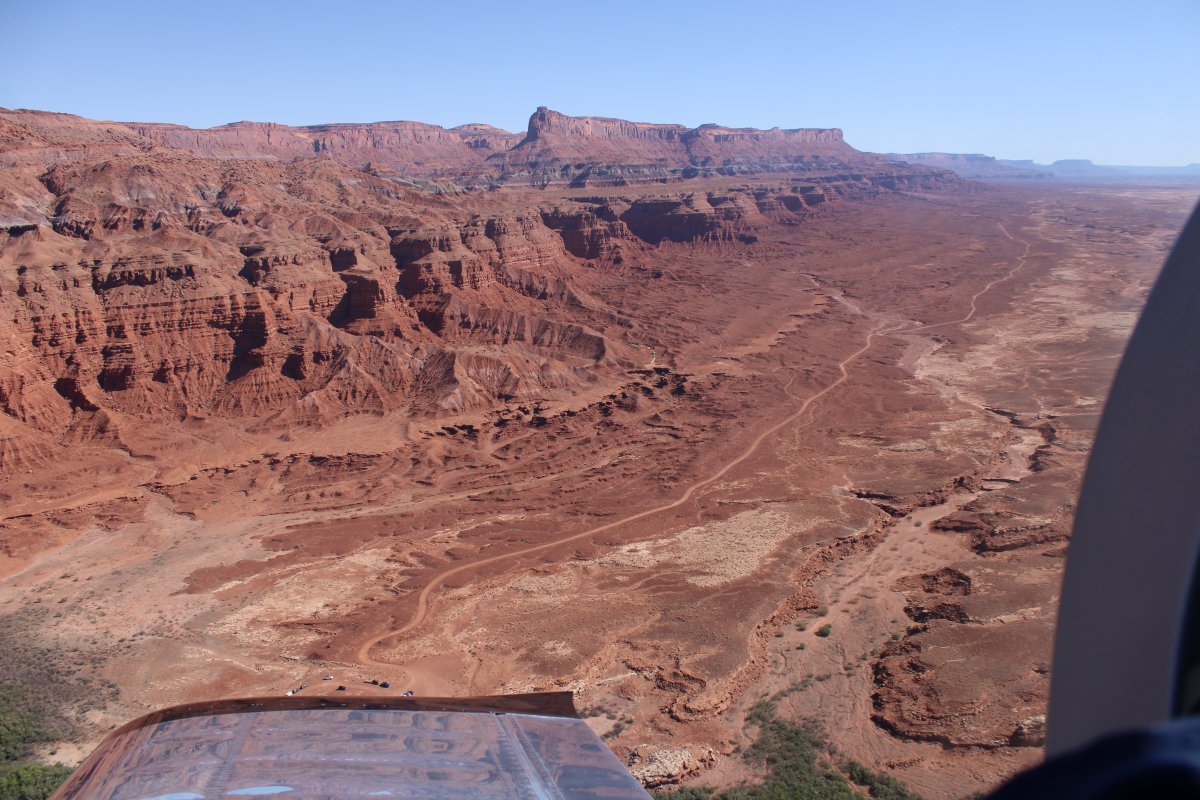
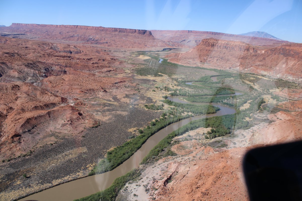
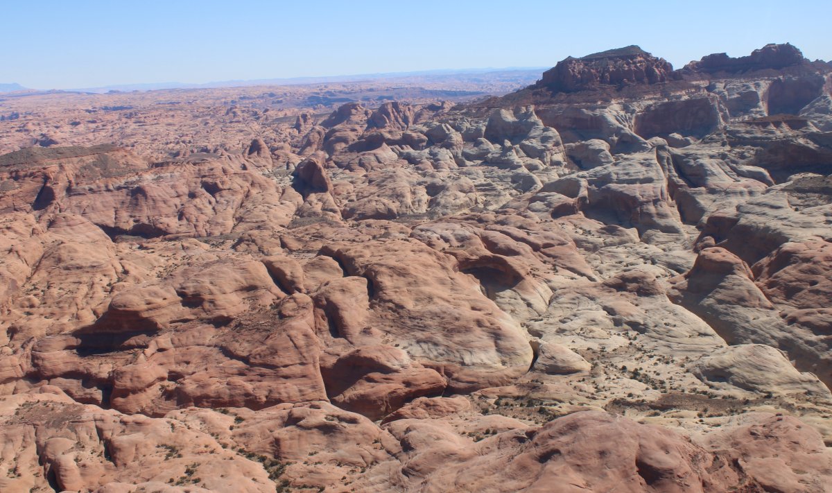
It wasn't long until I was over deep canyons with the San Juan River at the bottom.
|
| |
 |
|
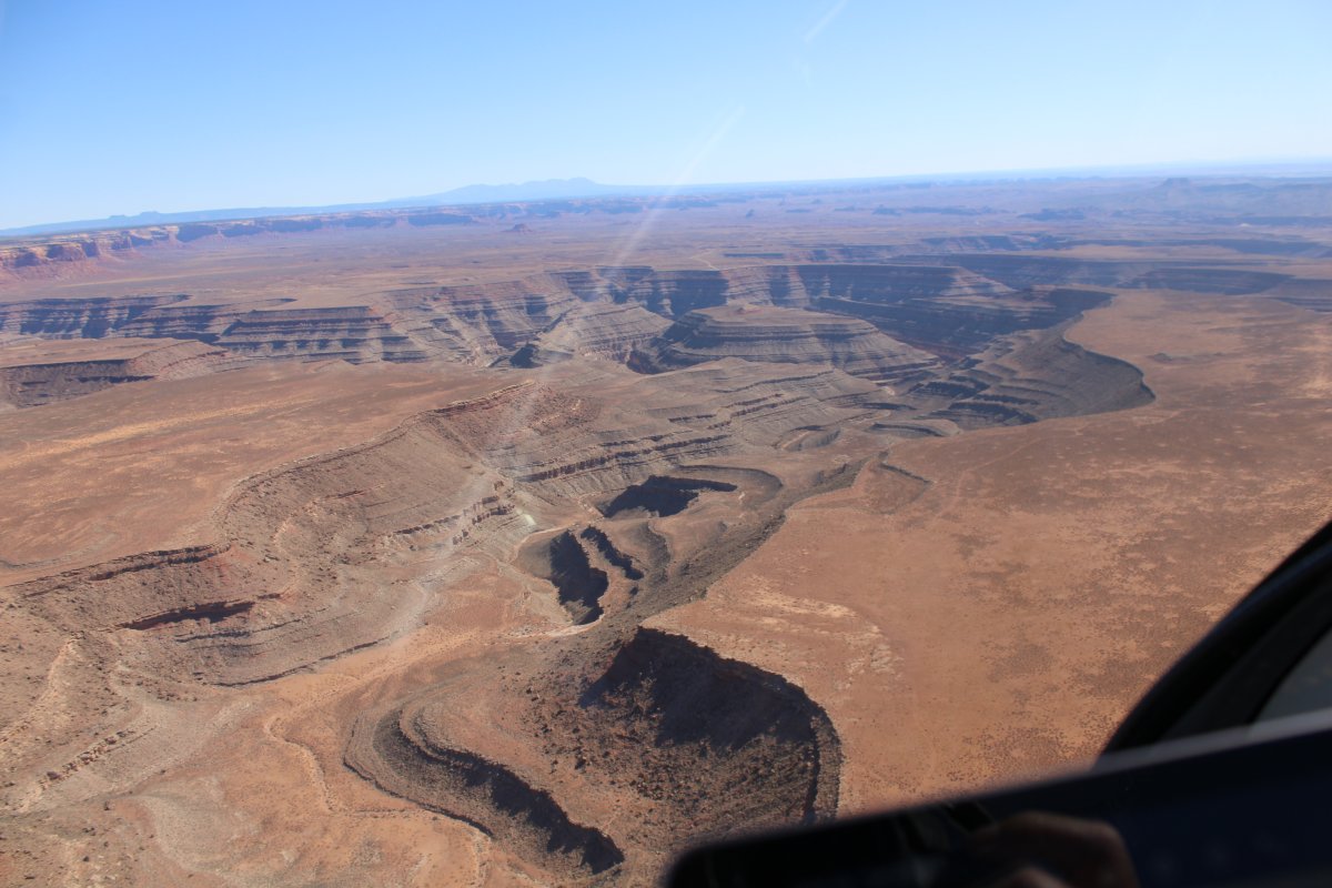
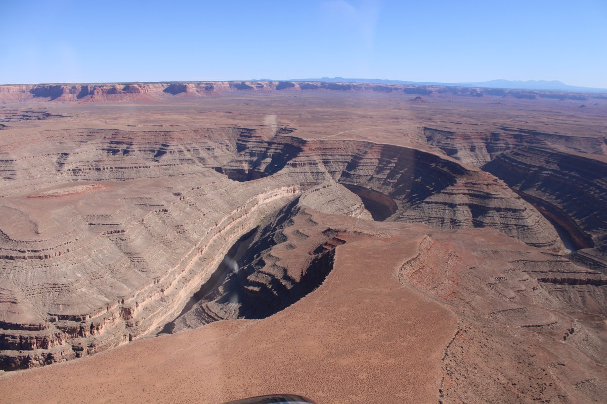
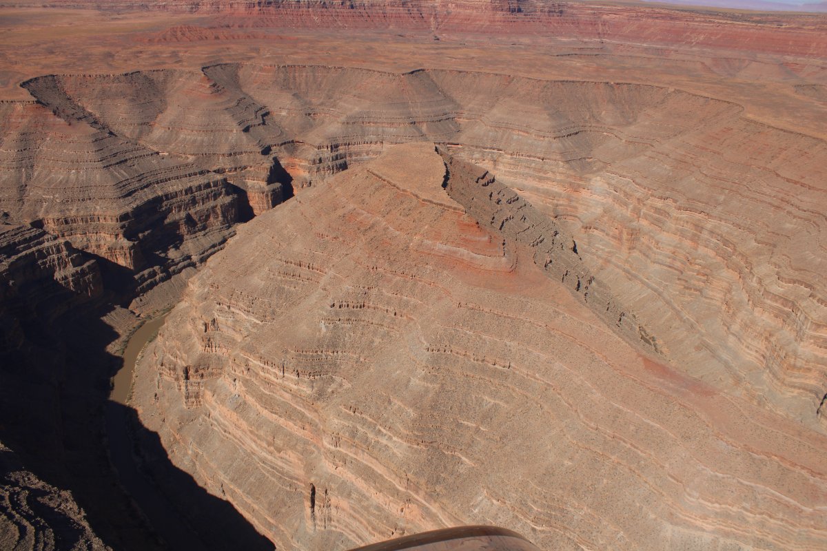
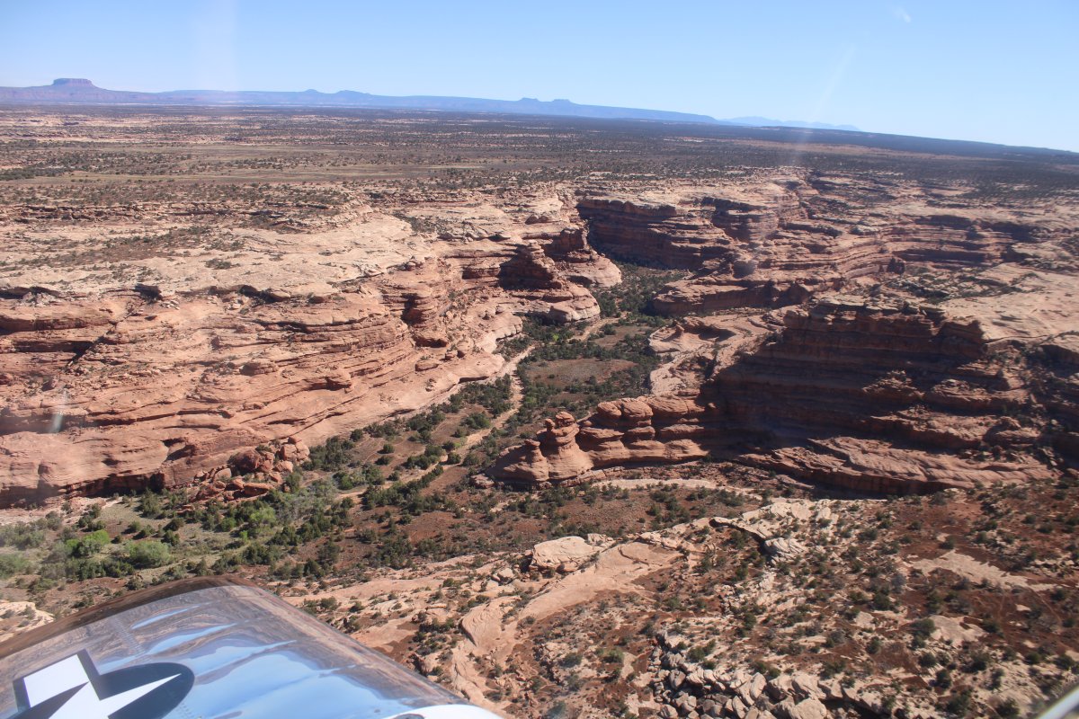
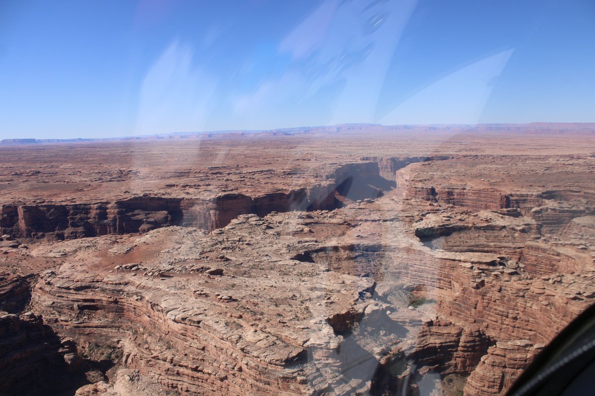
| These are the Goosenecks. |
| |
 |
|
|
|
| |
 |
|
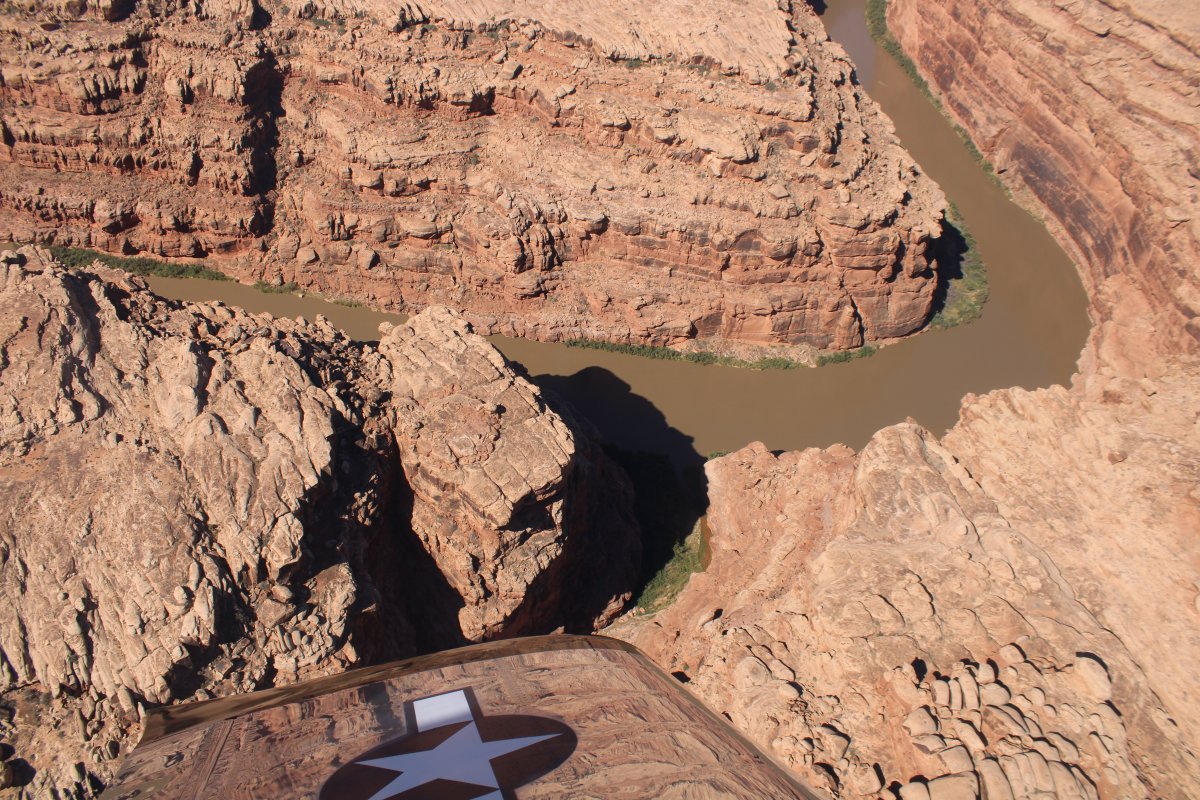
| That's a deep canyon! |
| |
 |
|
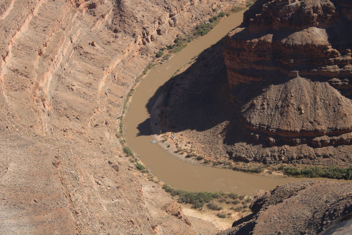
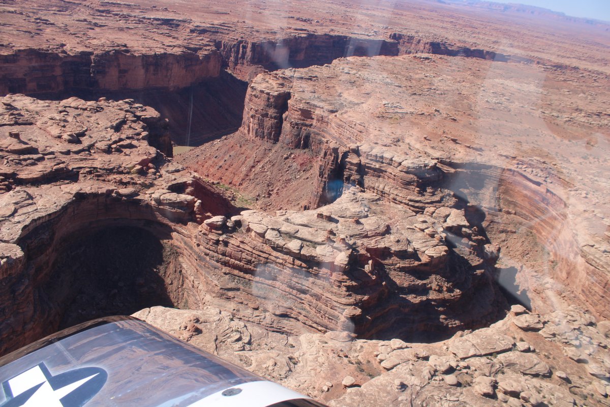
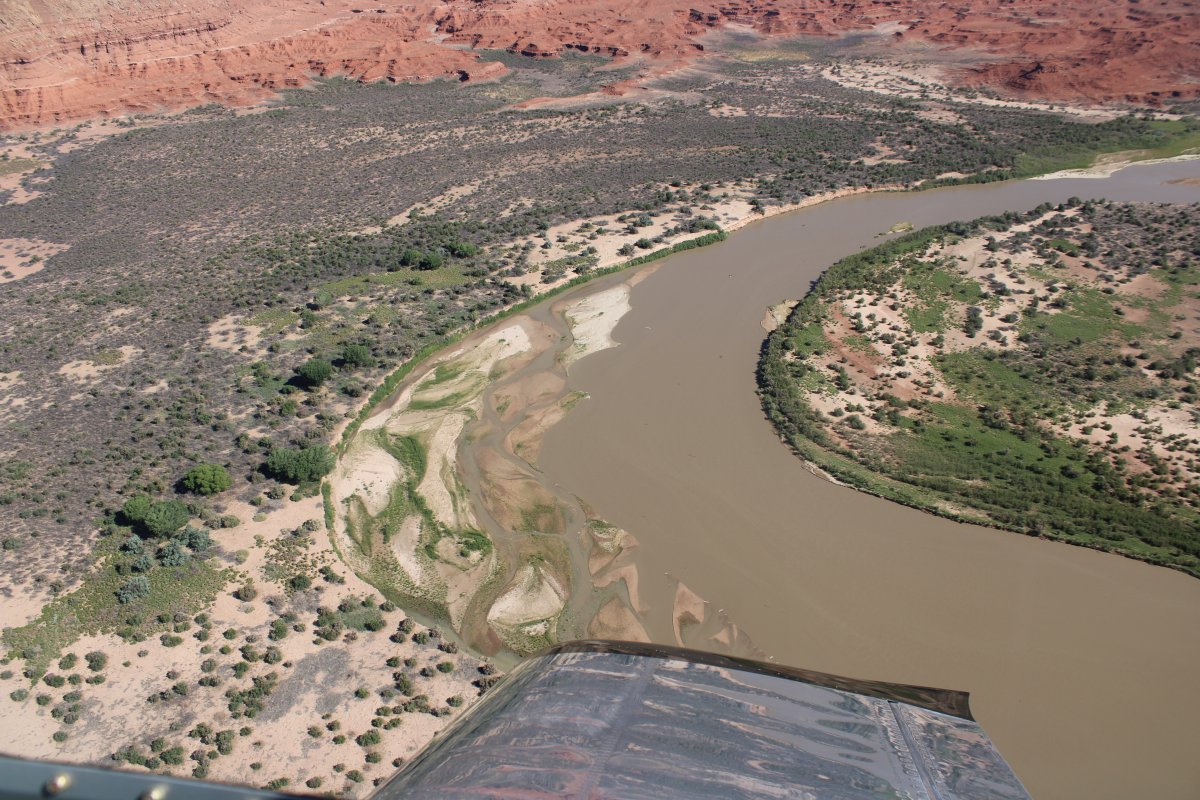
| Ah, there is the San Juan River, way down there. |
| |
 |
|
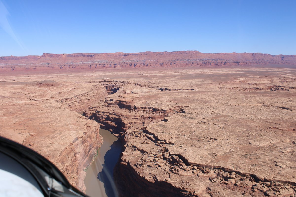
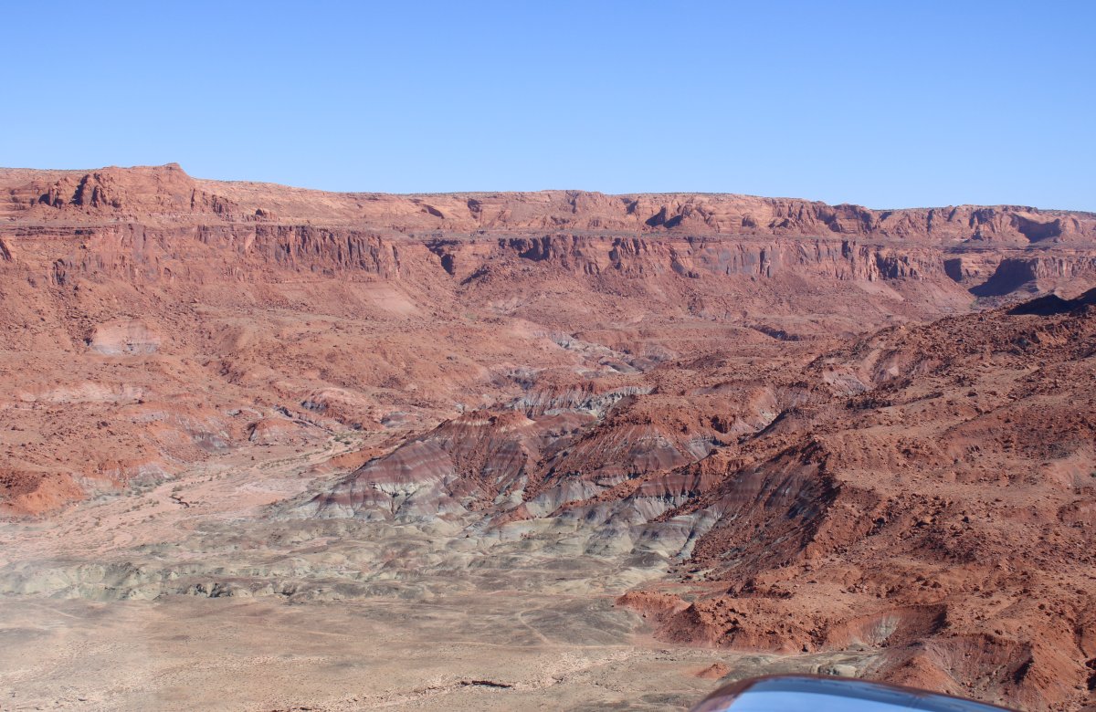
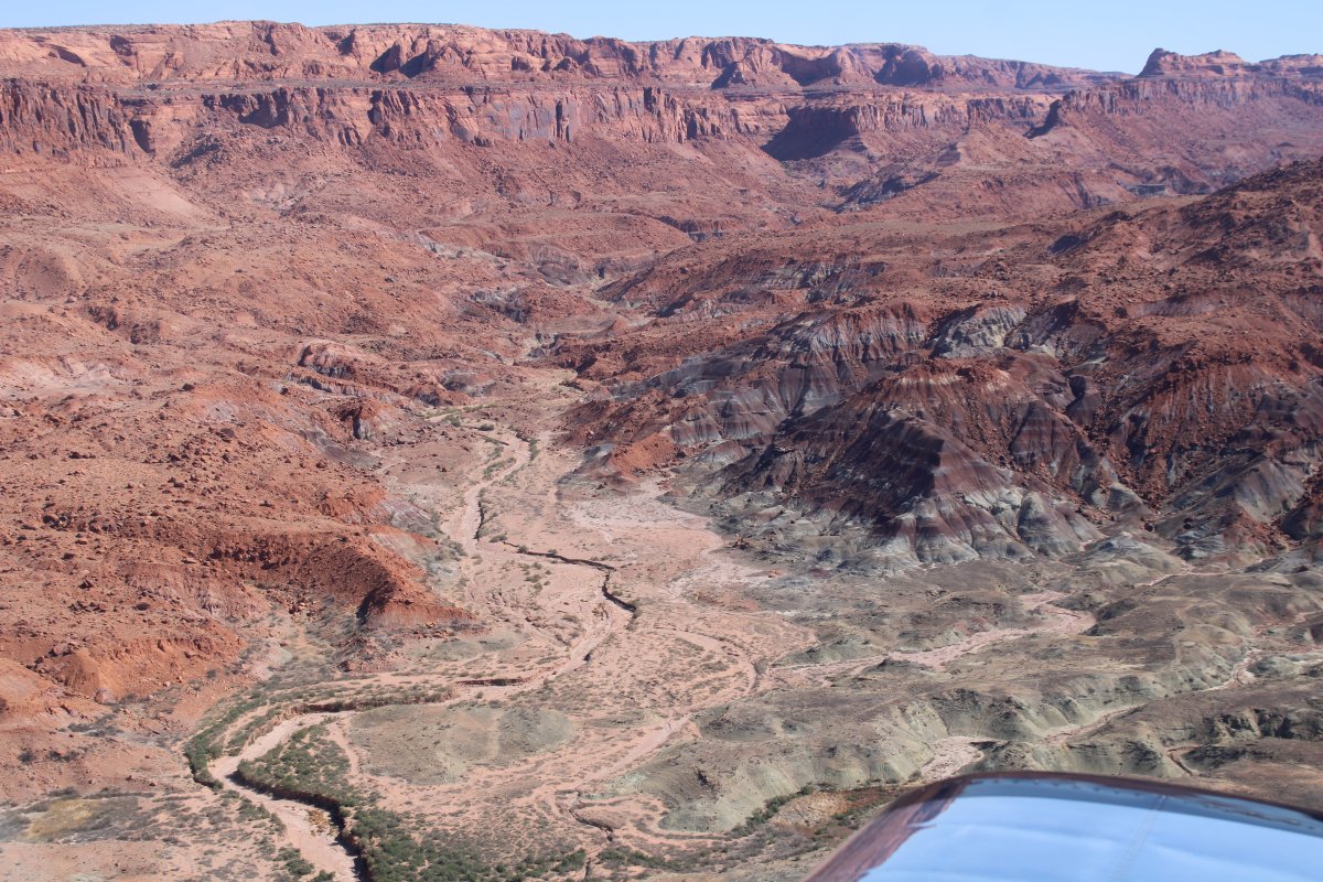
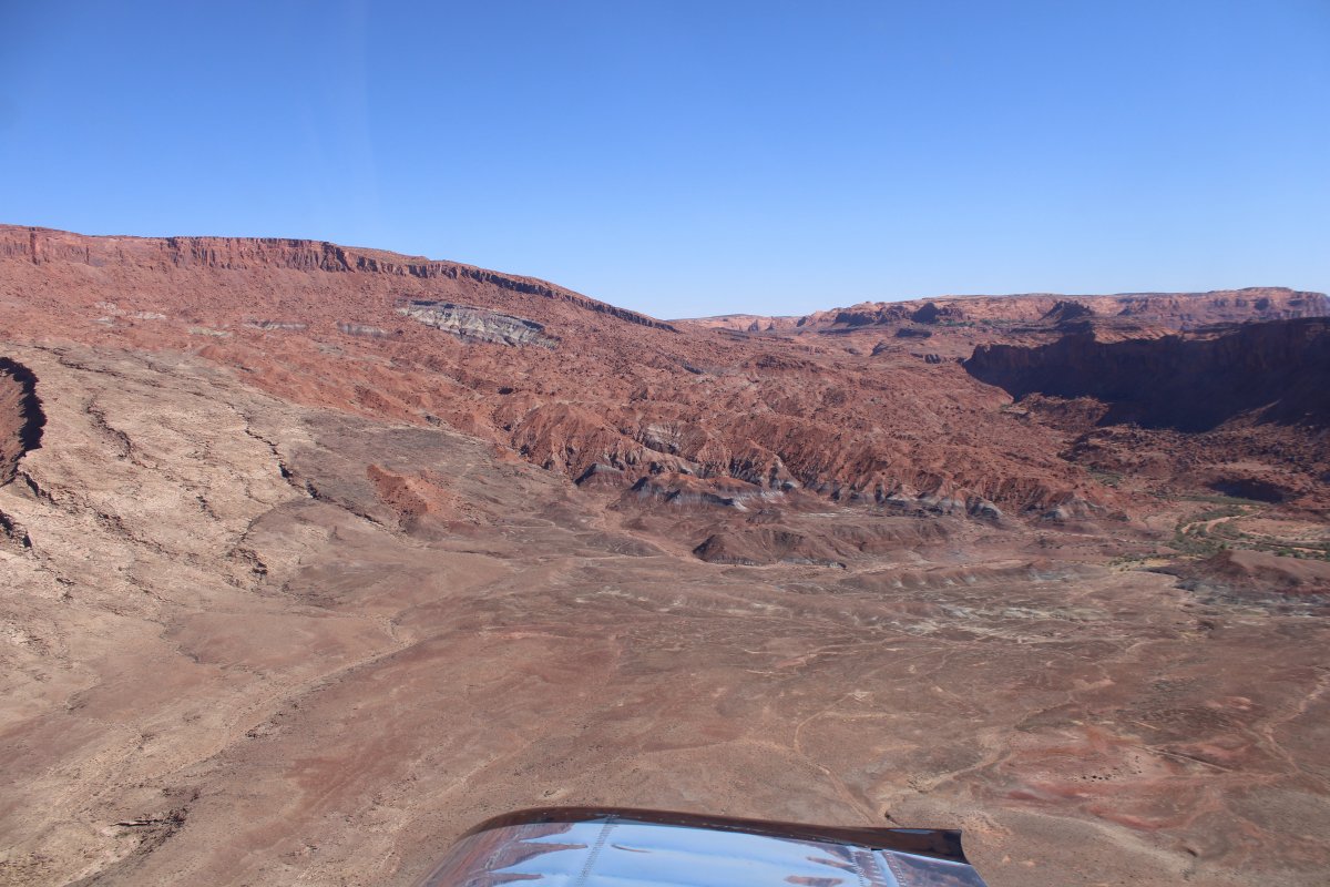
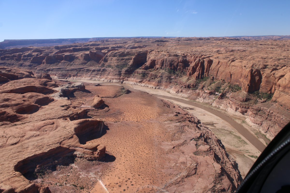
| The Goosenecks canyon is almost dead-looking -- very little color and absolutely no vegetation. |
| |
 |
|
|
|
| |
 |
|
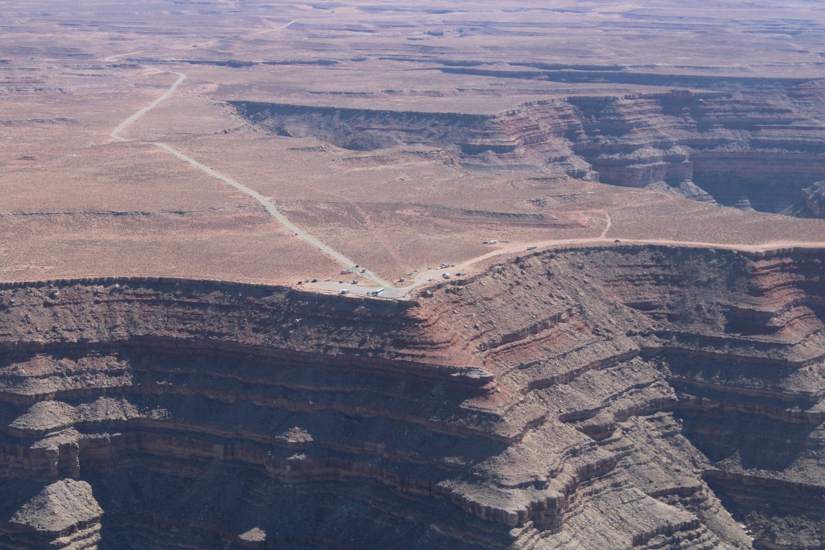
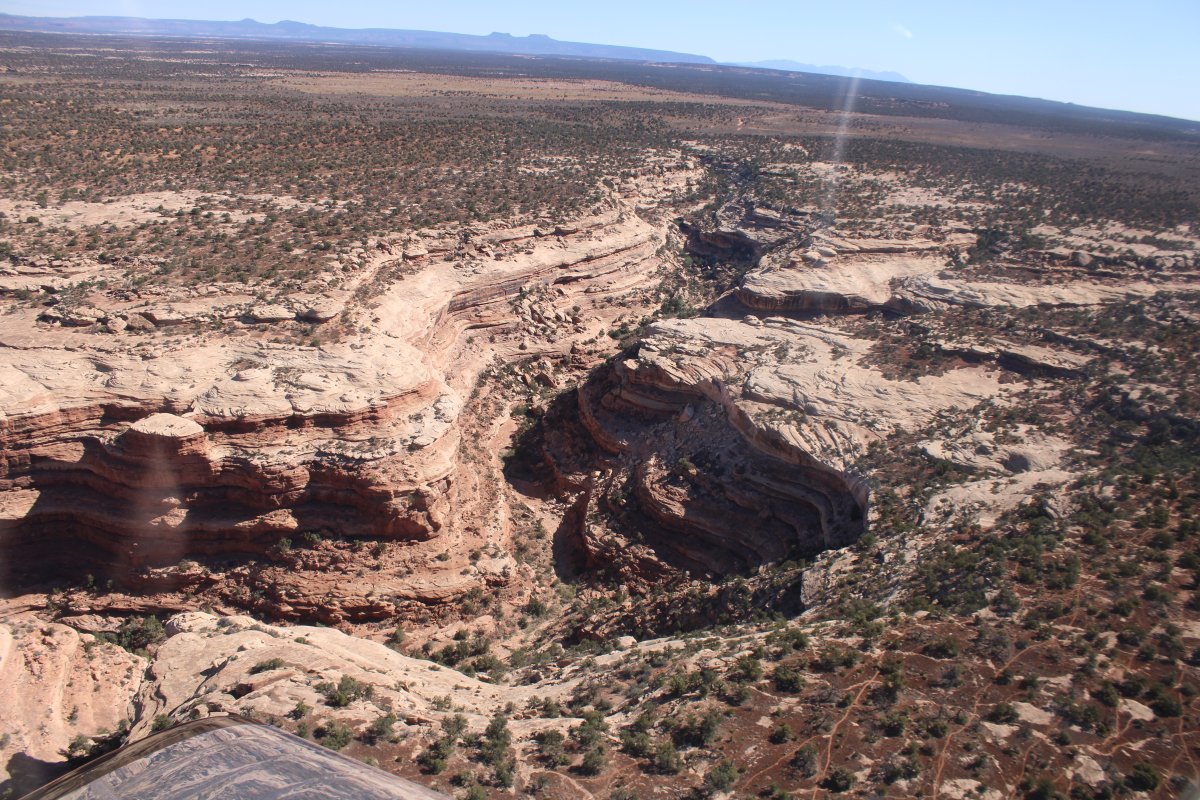
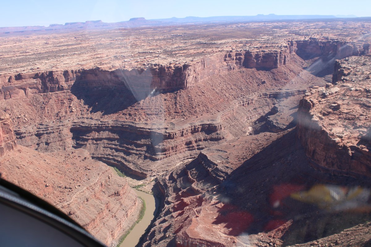
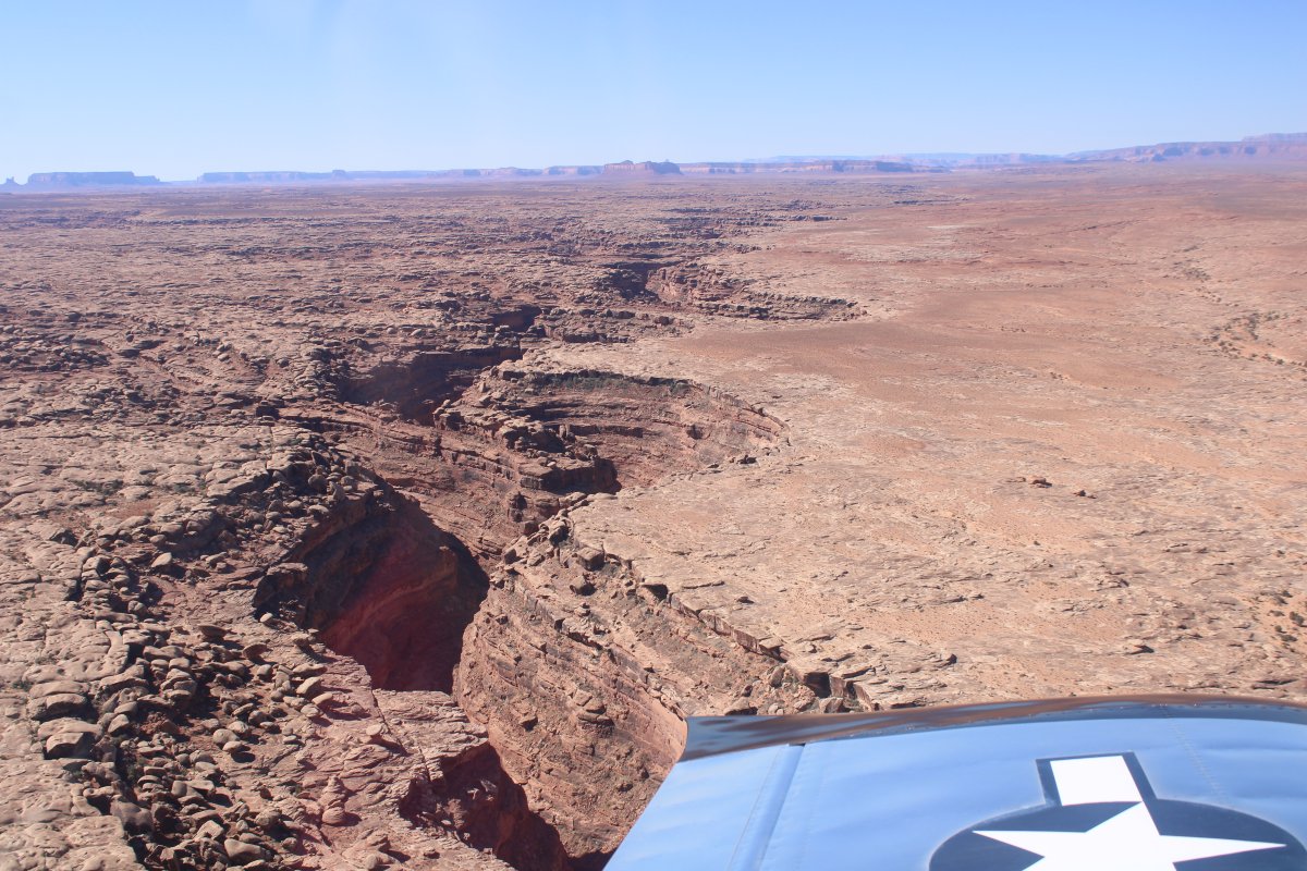
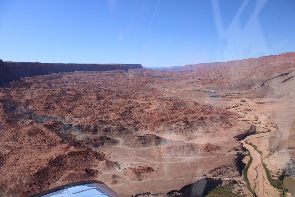
| As I flew west, the Goosenecks petered out into a more normal canyon with a little more color. |
| |
 |
|
| |
| |
 |
|
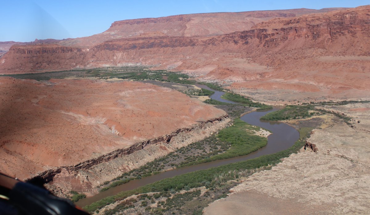
| Following the San Juan River west. |
| |
 |
|
|
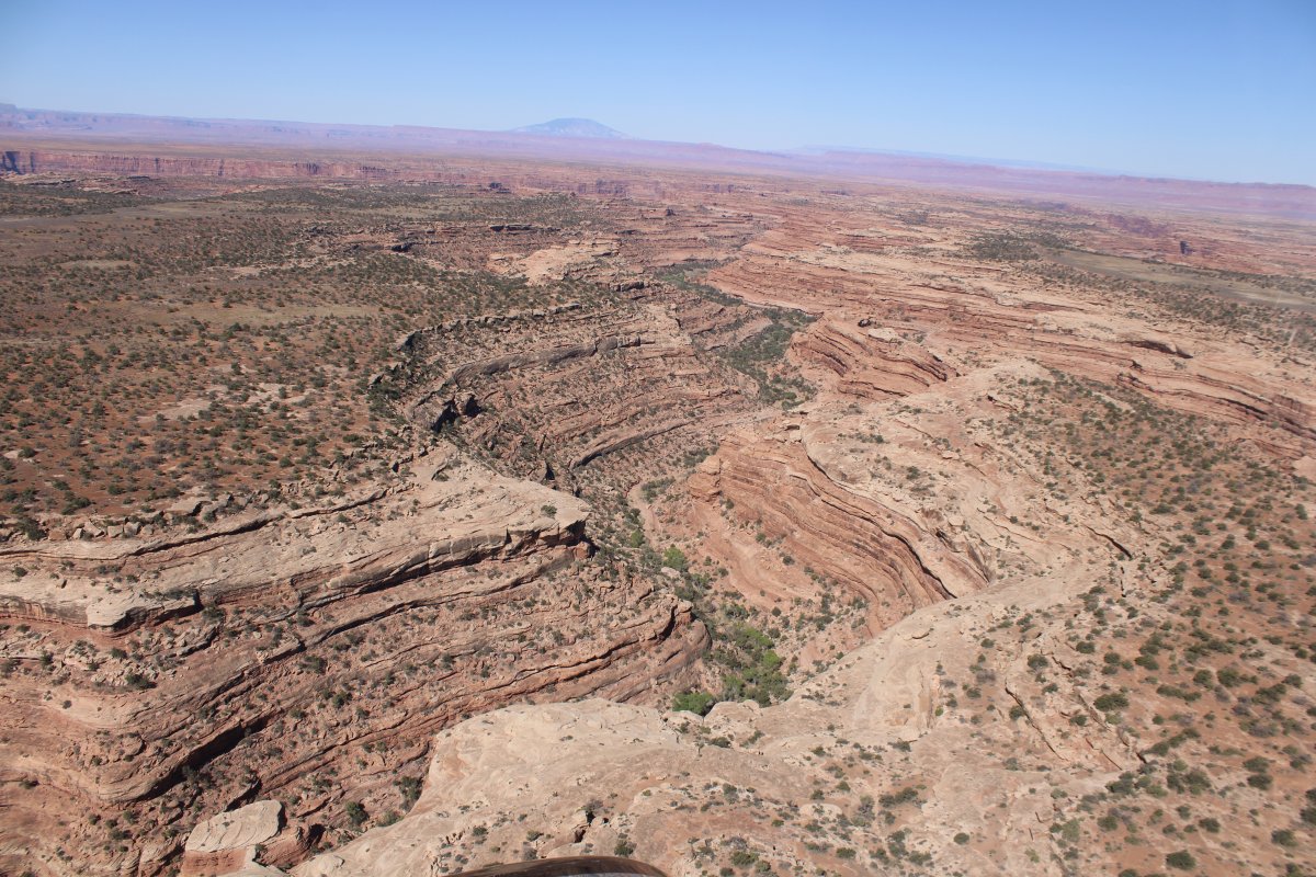
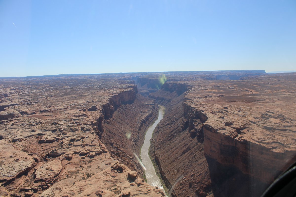
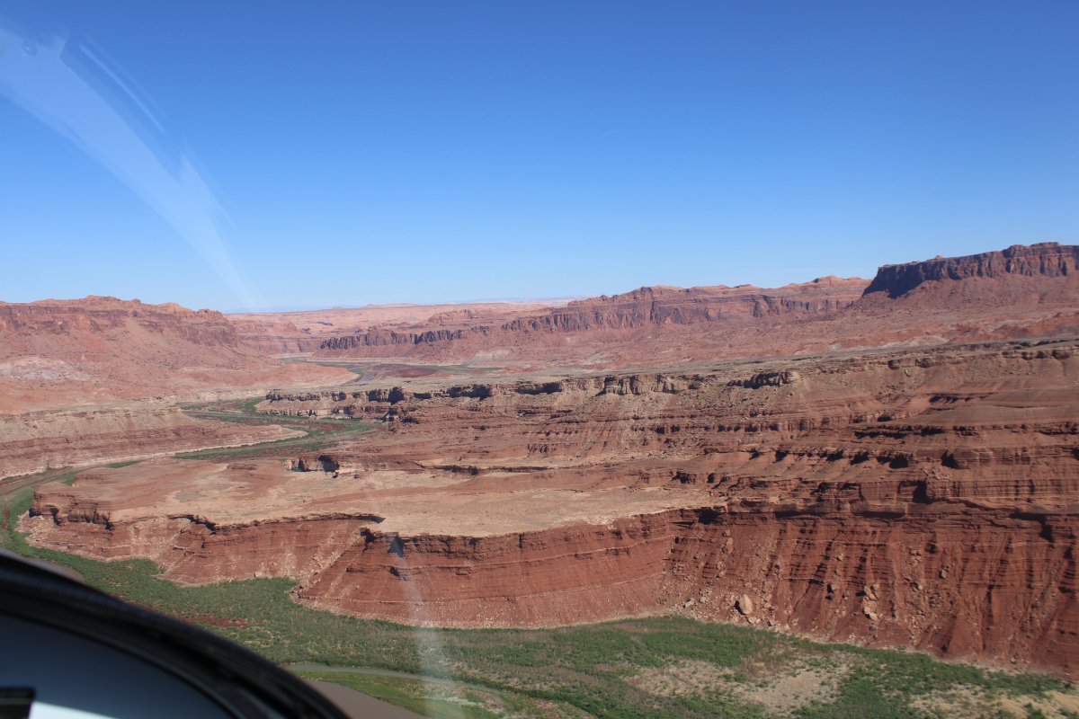
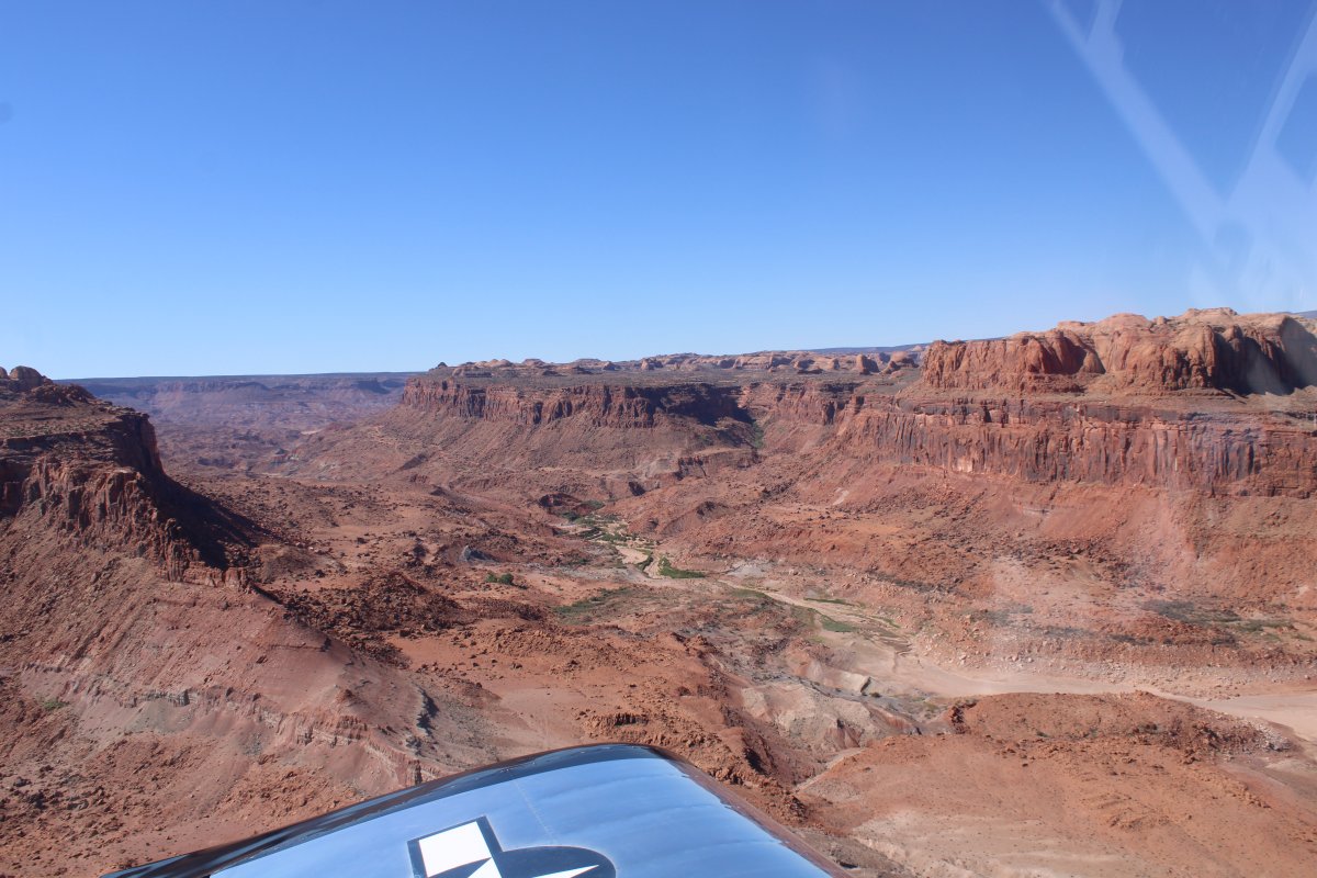
The canyon goes deep again.
|
| |
 |
|
| Becomes very "Grand Canyon" - like. |
| |
 |
|
|
|
| |
 |
|
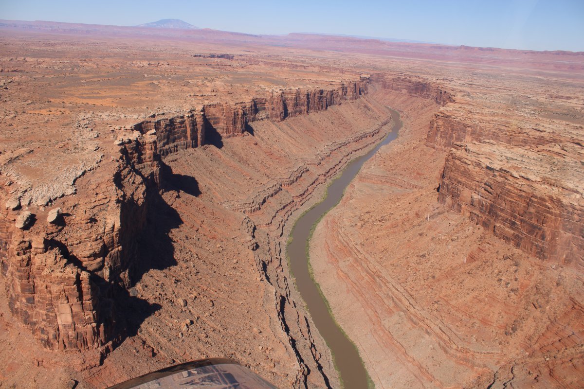
| A nice shot. |
| |
 |
|
| |
| |
 |
|
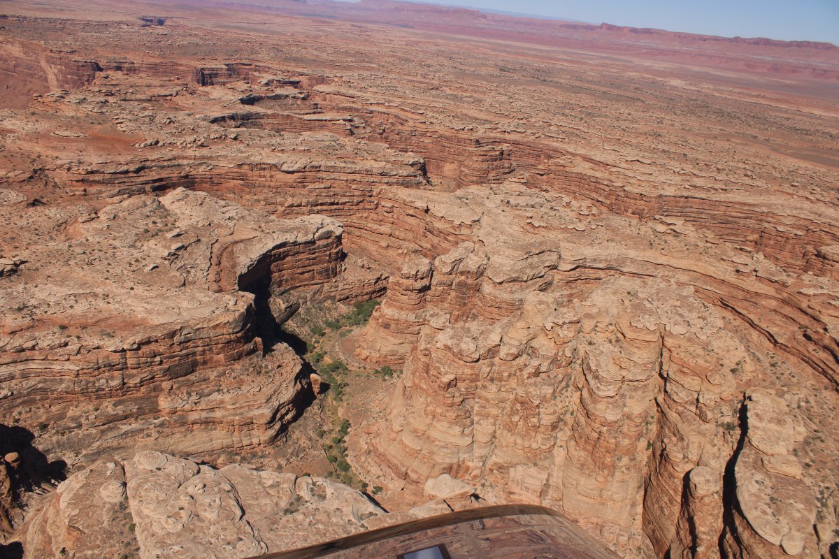
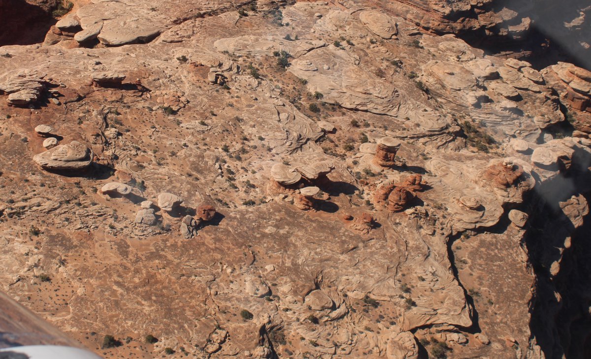
| Stone mushrooms growing out of the rock plateau. |
| |
 |
|
|
|
| |
 |
|
| |
| |
 |
|
| |
| |
 |
|
| |
| |
 |
|
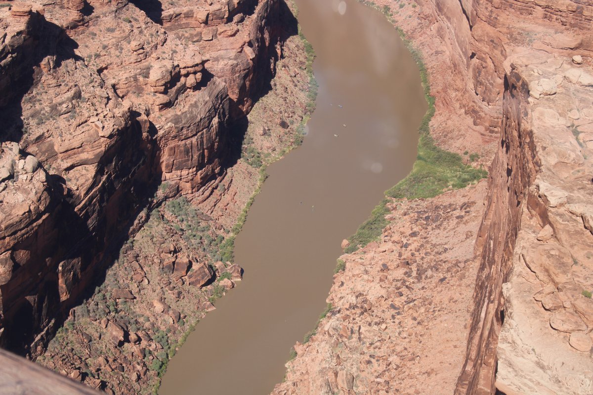
| A couple of kayakers way down there. |
| |
 |
|
|
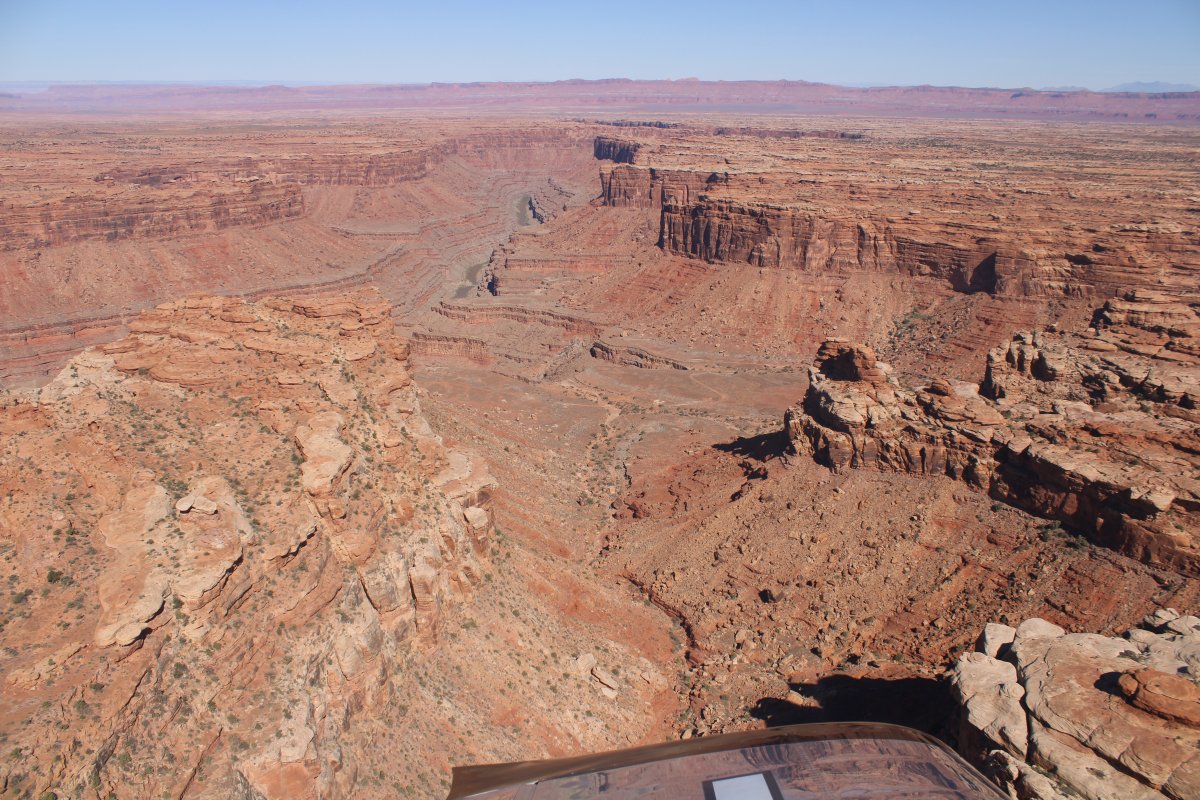
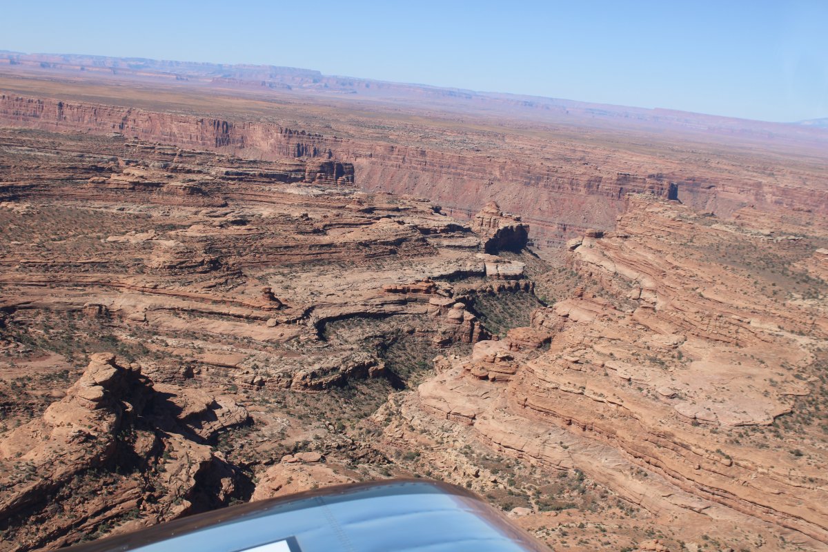
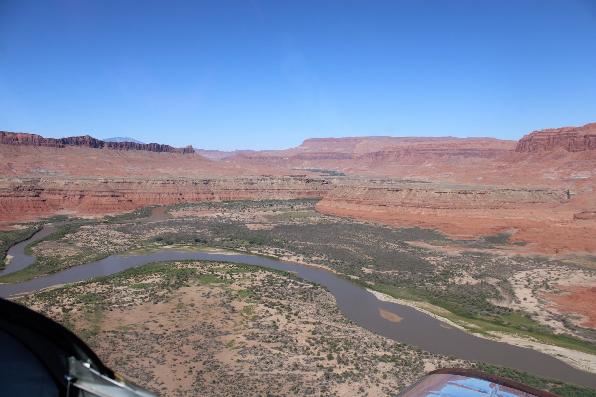
Approaching a big mesa.
|
| |
 |
|
| A side canyon runs to the south. |
| |
 |
|
| Checking out the San Juan River from time to time. |
| |
 |
|
| Converging on the big red mesa. |
| |
 |
|
|
|
| |
 |
|
| |
| |
 |
|
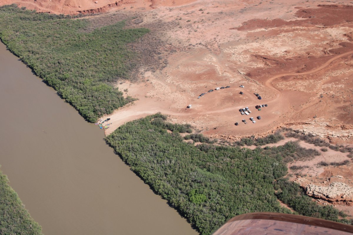
| Flying by a dirt boat landing just before cutting through the Mesa. A dirt road called Clay Hills Road runs north to Highway 276. You have to really want it to launch into the San Juan River from here! |
| |
 |
|
|
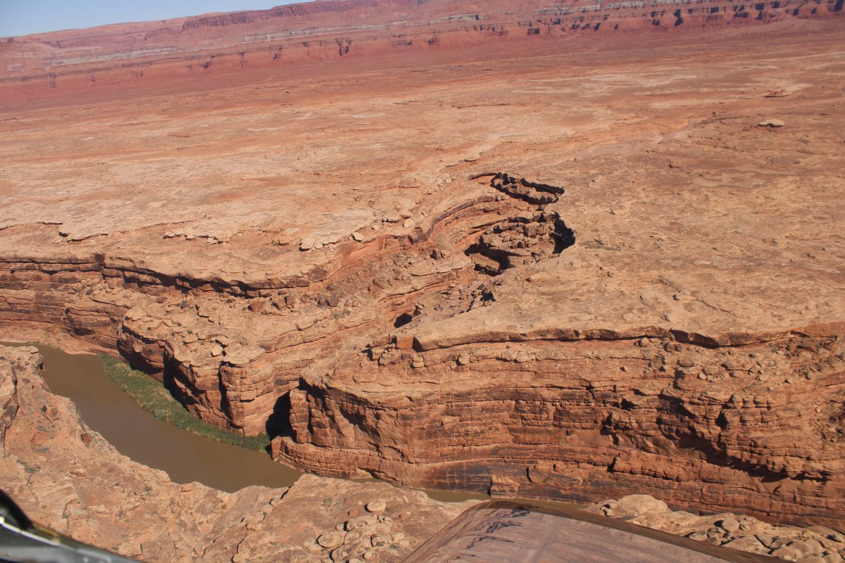
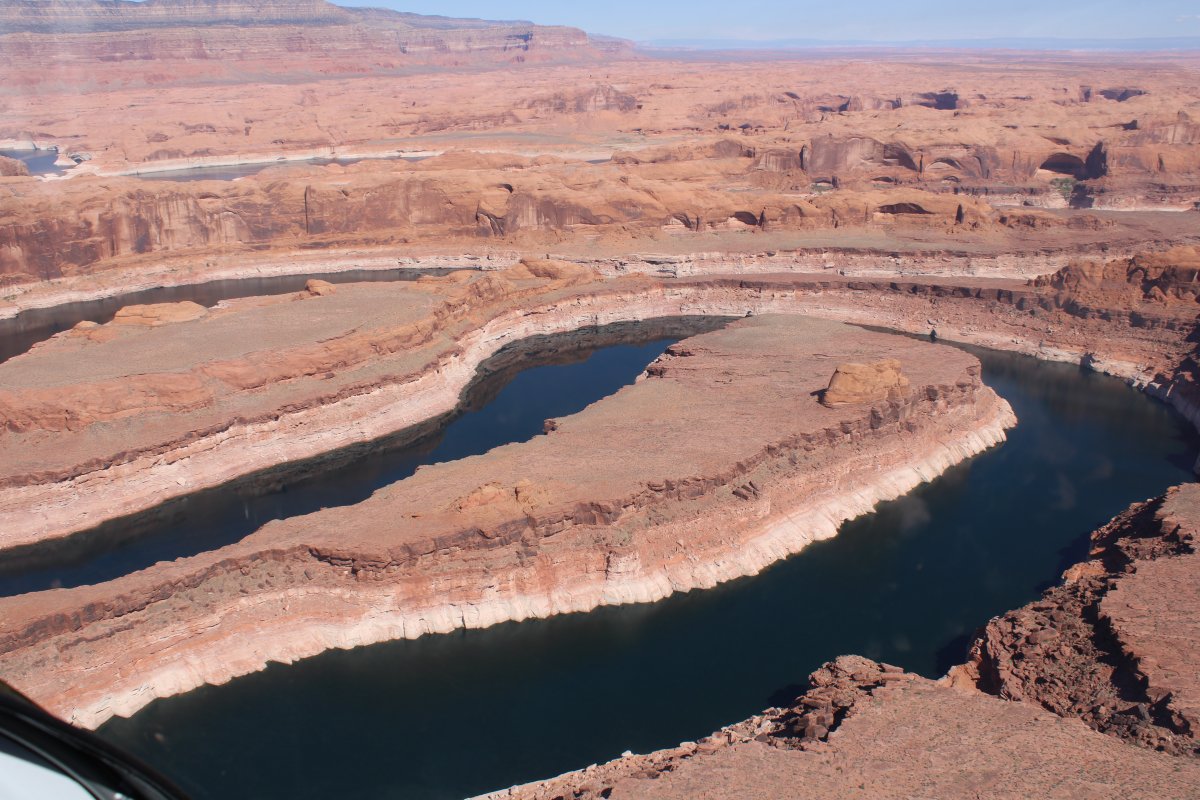
A better look at Clay Hills Road leading north.
|
| |
 |
|
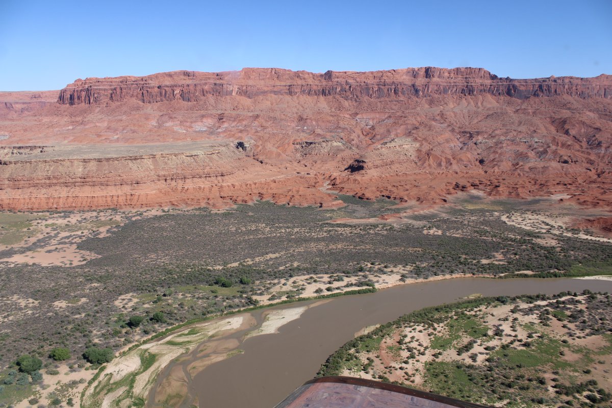
| The San Juan cuts through the Mesa. |
| |
 |
|
|
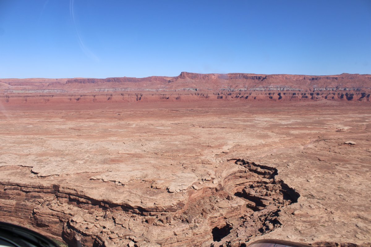
Which makes for an easy pass in the airplane.
|
| |
 |
|
| A pretty area very few ever see. |
| |
 |
|
| |
| |
 |
|
| |
| |
 |
|
|
It's starting to get very scenic.
|
| |
 |
|
| |
| |
 |
|
| |
| |
 |
|
|
|
| |
 |
|
| |
| |
 |
|
|
Everywhere I look is a Kodak moment. Speaking of Kodak, it's still in business after emerging from bankrupcy in 2013, but it is now a fraction of it's former self. The shift from film to digital hurt them badly.
|
| |
 |
|
| |
| |
 |
|
| |
| |
 |
|
|
Canyon side.
|
| |
 |
|
| |
| |
 |
|
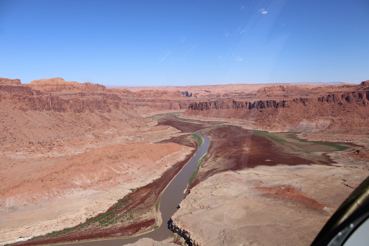
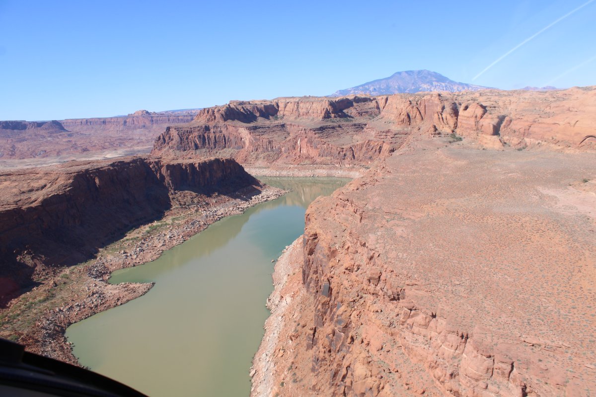
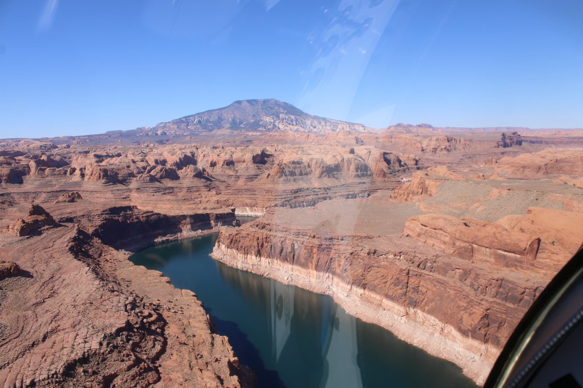
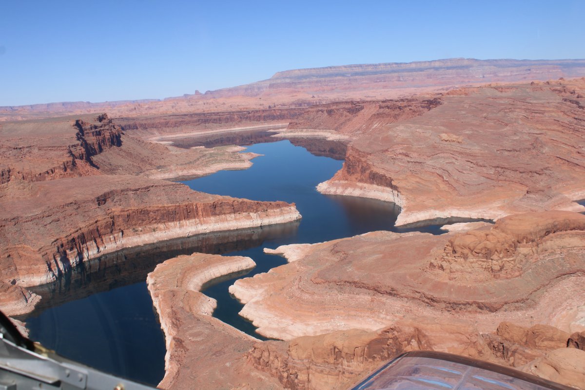
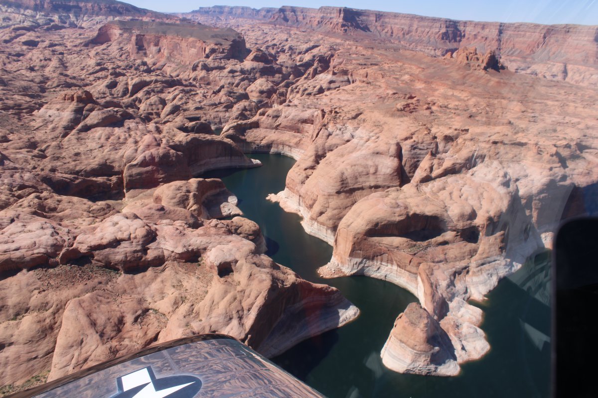
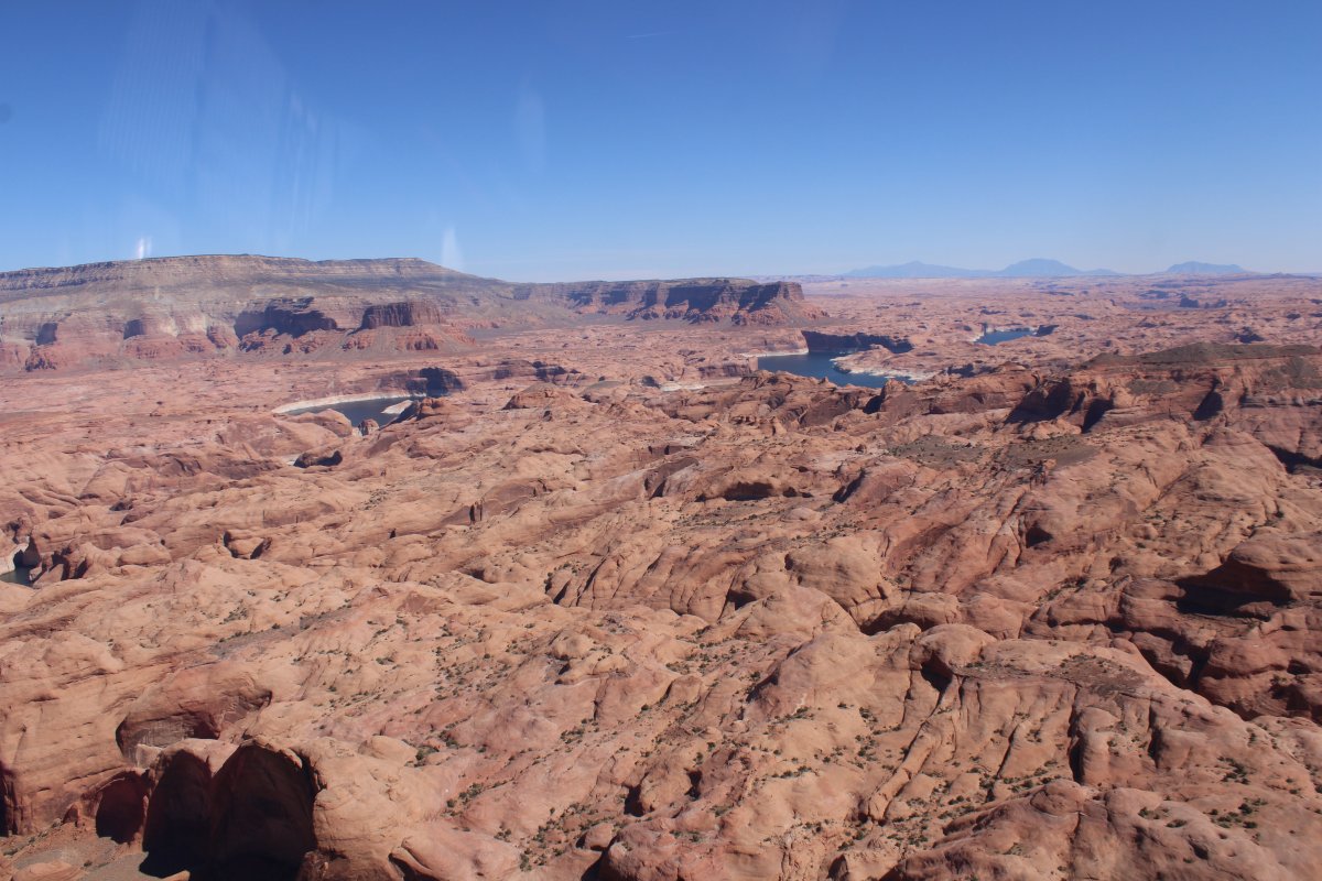
| Suddenly, the San Juan River turns into Lake Powell. |
| |
 |
|
| |
| |
 |
|
|
|
| |
 |
|
|
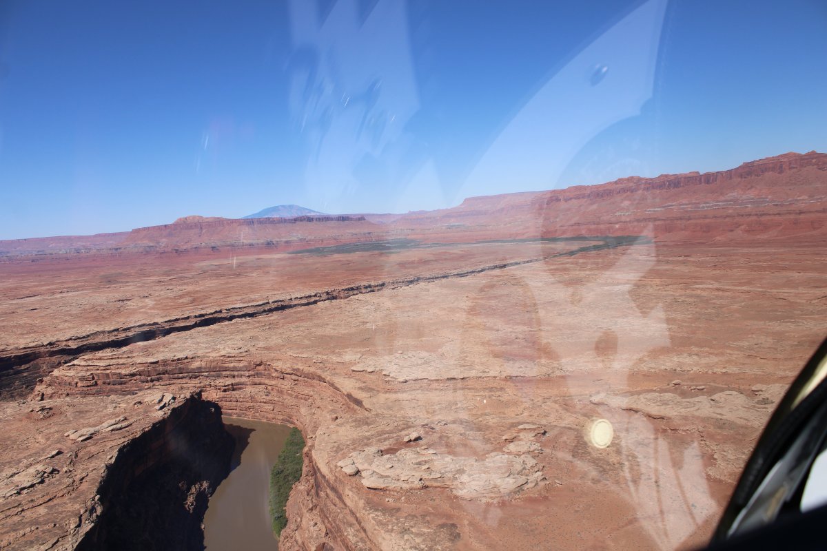
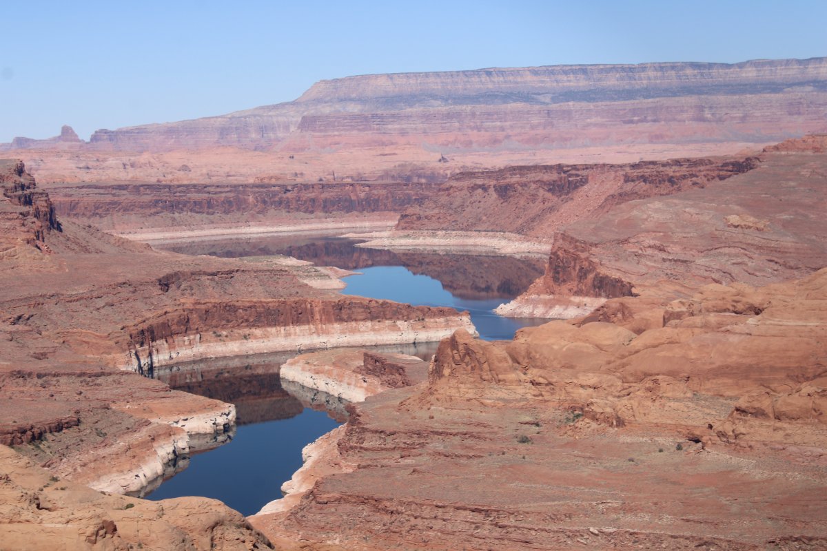
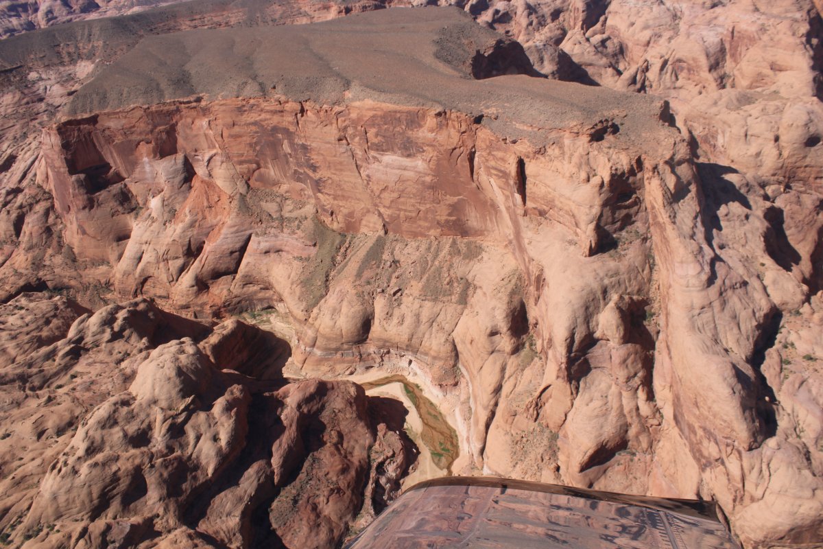
Passing by a very wide side canyon to the south.
|
| |
 |
|
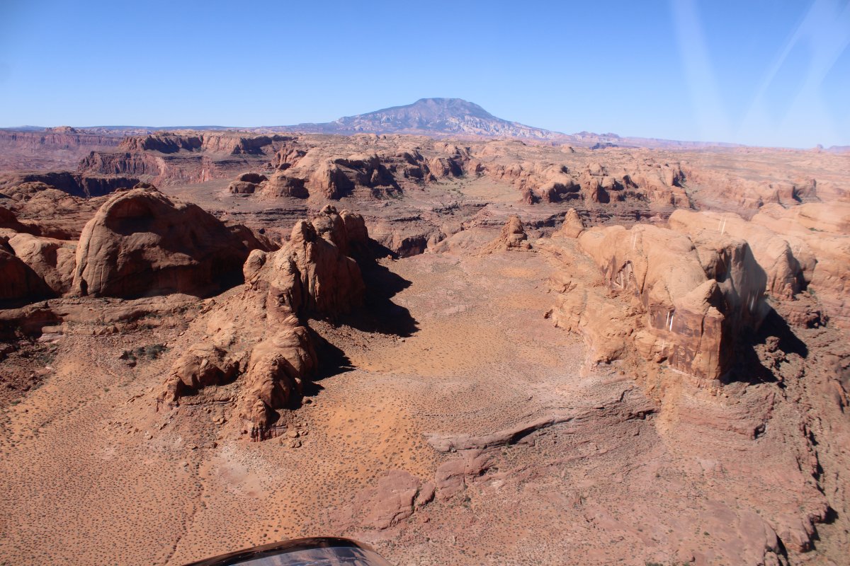
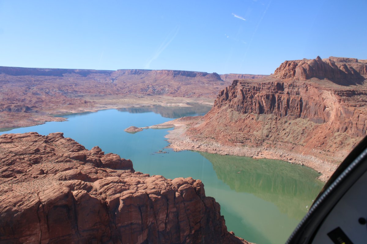
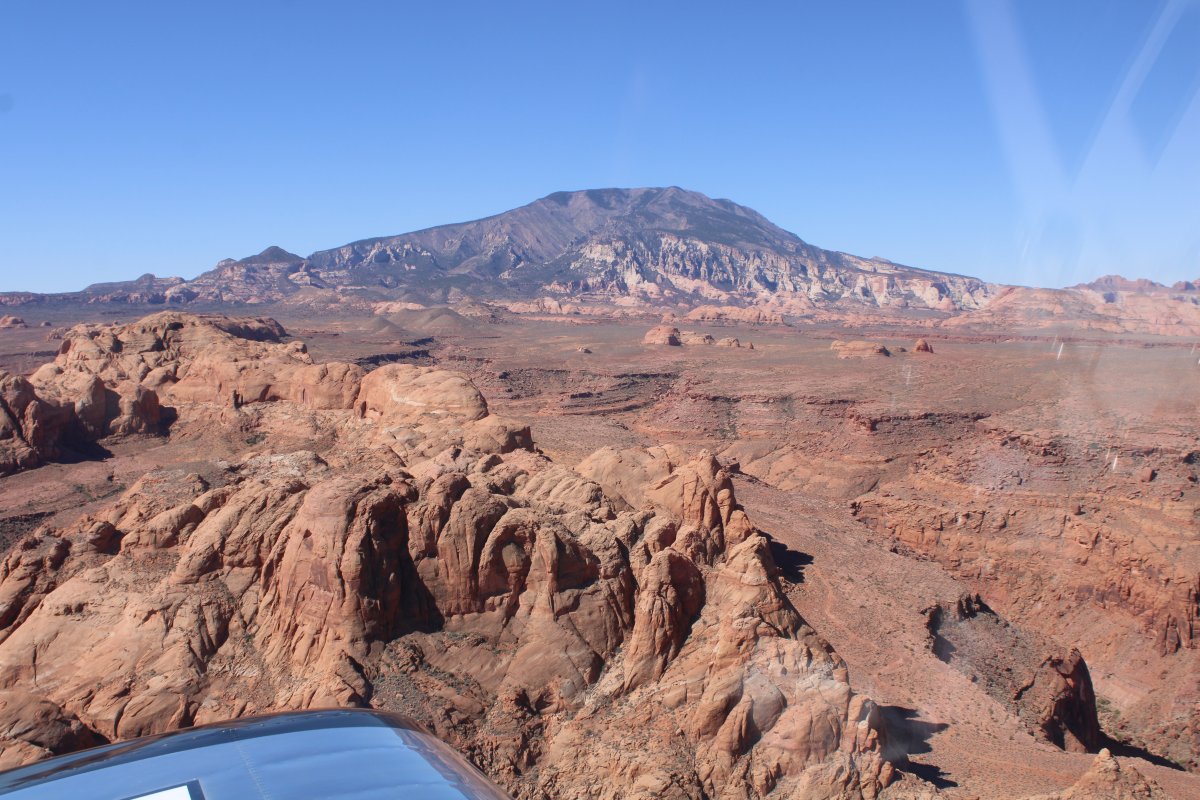
| Navajo Mountain comes into view. |
| |
 |
|
| |
| |
 |
|
| |
| |
 |
|
|
|
| |
 |
|
| A nice shot of Navajo Mountain. |
| |
 |
|
| Looking down during a tight turn. I have become quite adept at flying the plane with the stick between my knees, while using both hands to hold the camera and take the shot. |
| |
 |
|
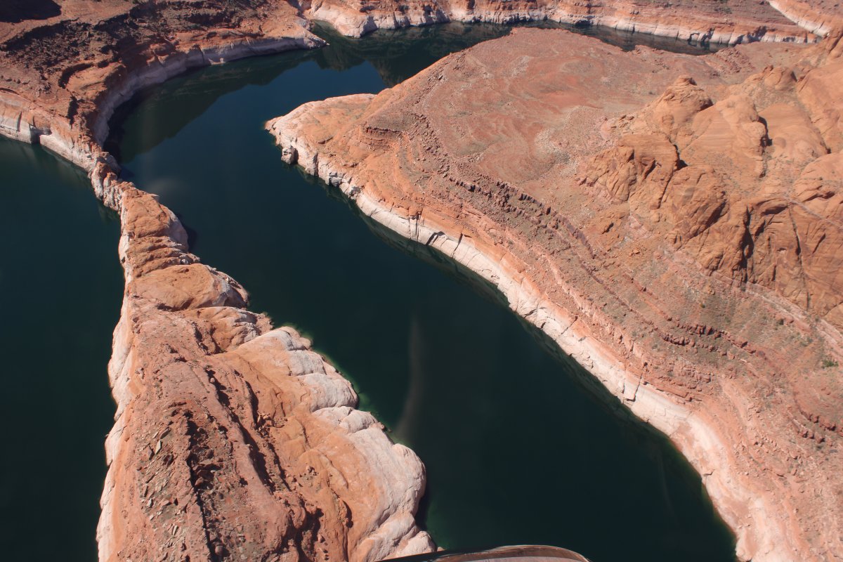
| Sidewinder city. |
| |
 |
|
|
|
| |
 |
|
| |
| |
 |
|
|
|
| |
 |
|
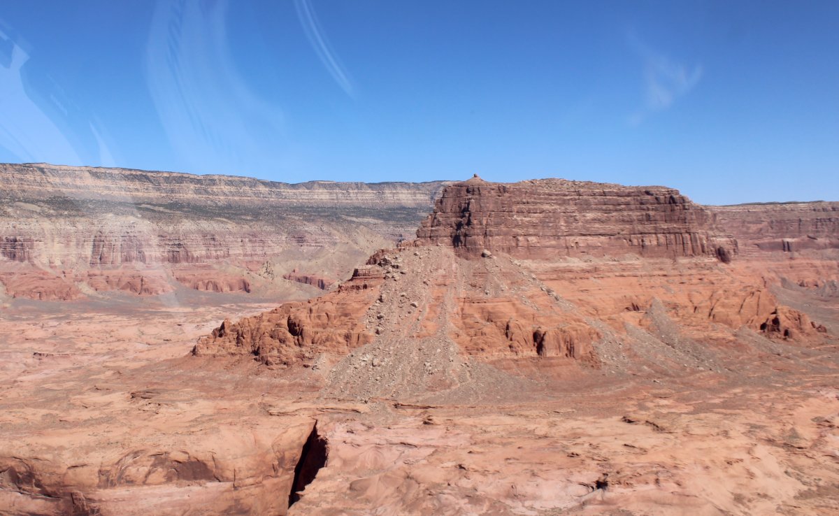
| Big butte. |
| |
 |
|
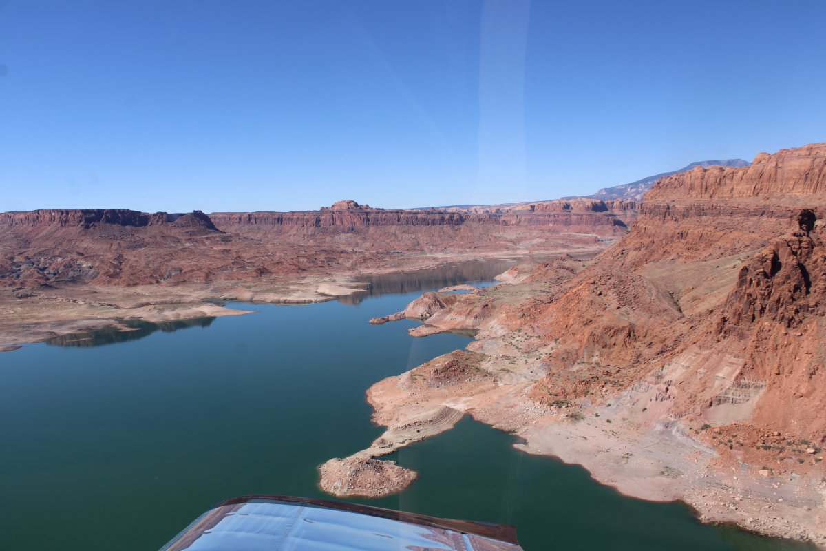
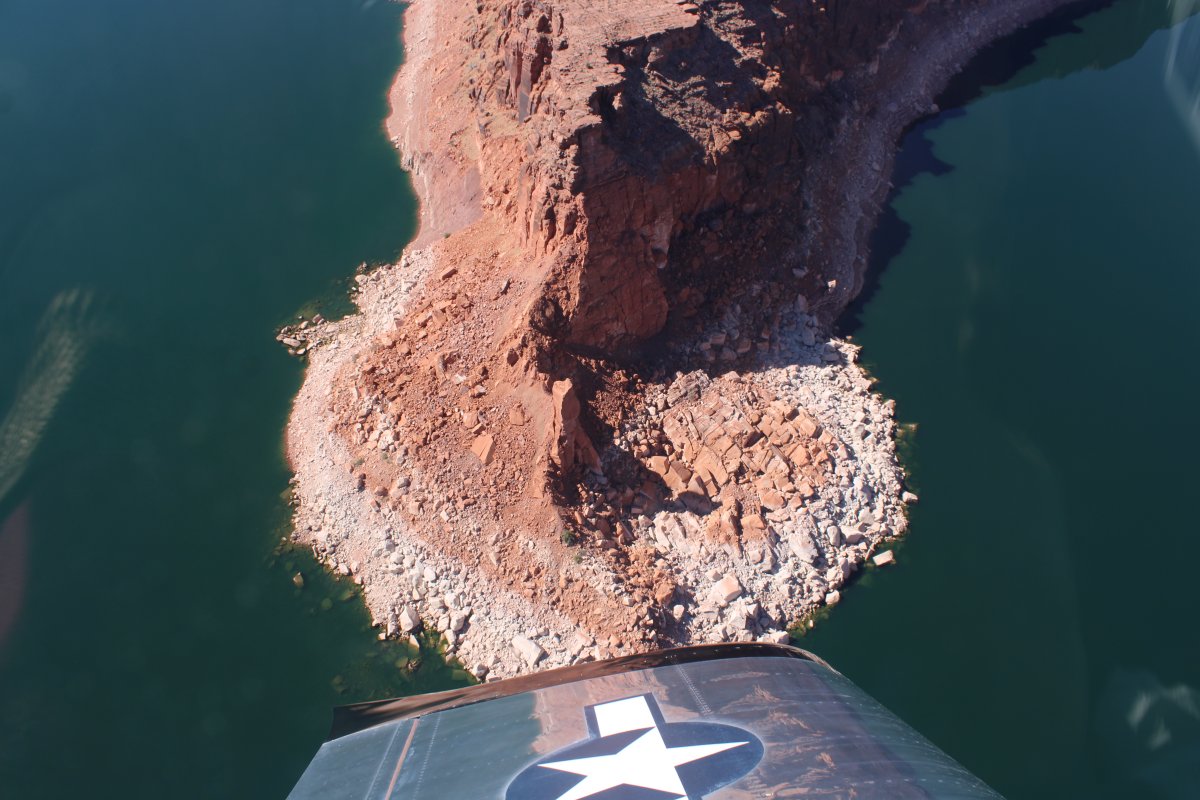
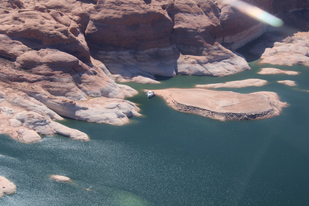
| A couple of boats tied up in a remote, private location. |
| |
 |
|
|
I have flown Lake Powell a couple of times but never seen Rainbow Bridge. The first time I wasn't aware of it. The second time I couldn't find it. This time I was ready. But it turns out it's easy to find if you have Foreflight on your iPad; Rainbow Bridge is on the sectional chart, and Foreflight/iPad shows your position on the chart, so if you can't navigate to Rainbow Bridge with that, you really shouldn't be flying!
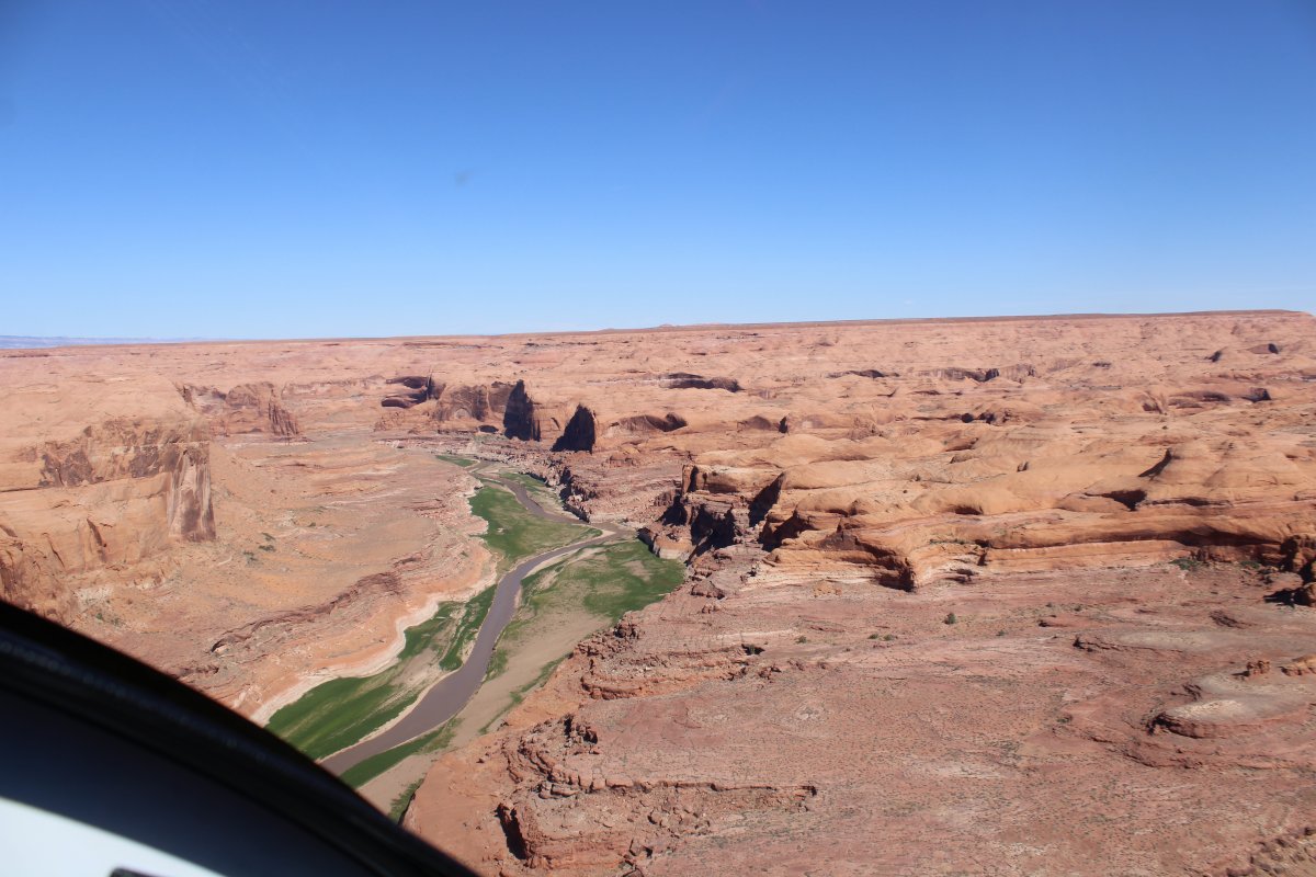
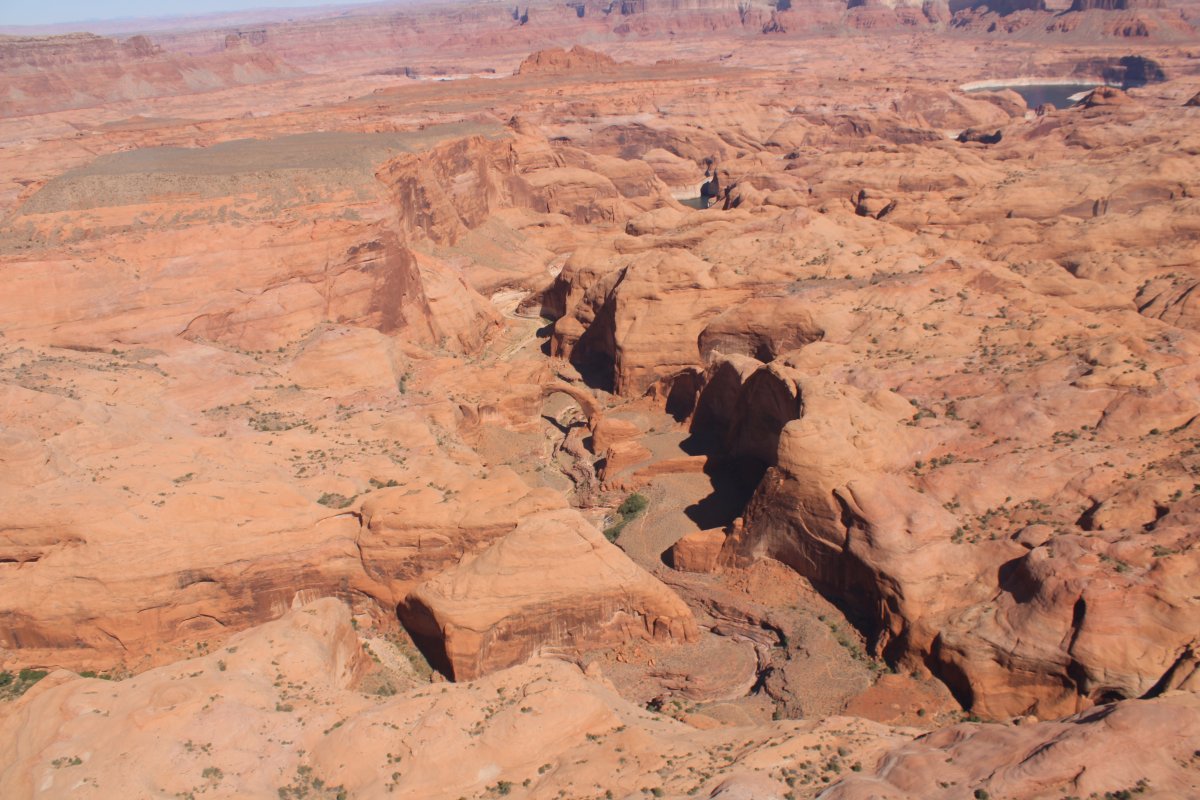
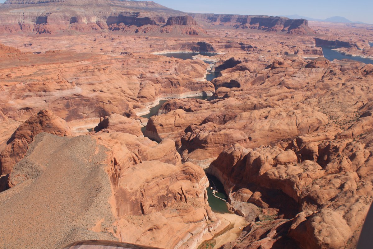
Below, looking south, is the Rainbow Bridge entry point. Rainbow Bridge is accessible via boat only -- there are no roads to it -- so this is where the boats turn off the Lake. Most visit via a two-hour boat ride on Lake Powell from either of two marinas near Page, Arizona, followed by a mile-long walk from the wharf in Bridge Canyon. You can also hike to it -- it takes several days from a trailhead on the south side of Lake Powell.
|
| |
 |
|
|
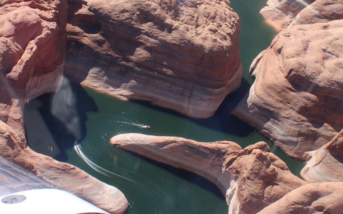
And, there are a couple of boats right there, probably heading to the Bridge Wharf.
|
| |
 |
|
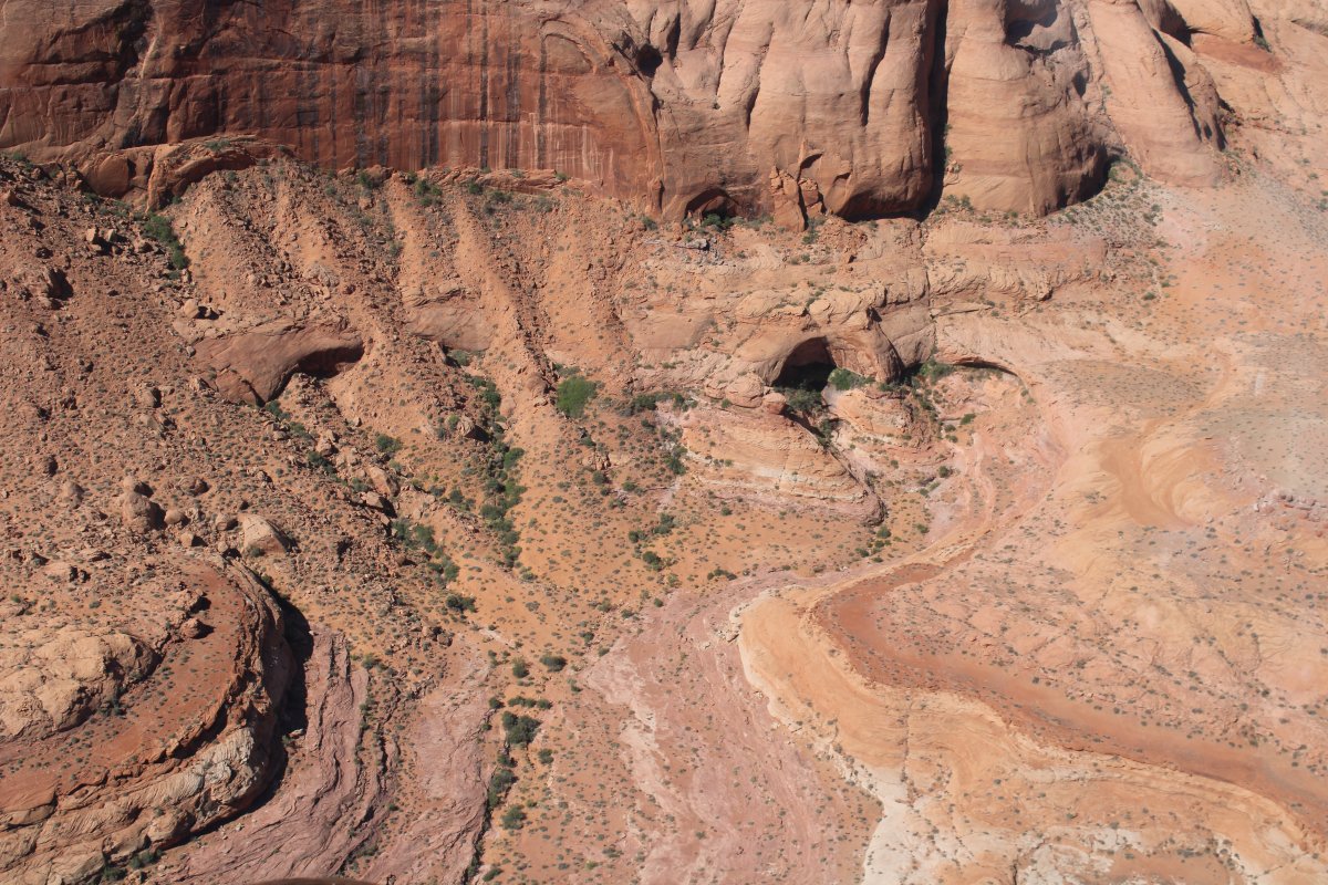
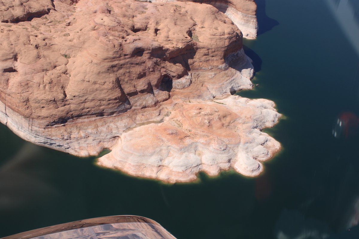
| At some point below, the Lake ends, you beach your boat, and walk the rest of the way to the Rainbow Bridge. |
| |
 |
|
| This picture gives you an idea of the rugged terrain surrounding Rainbow Bridge. |
| |
 |
|
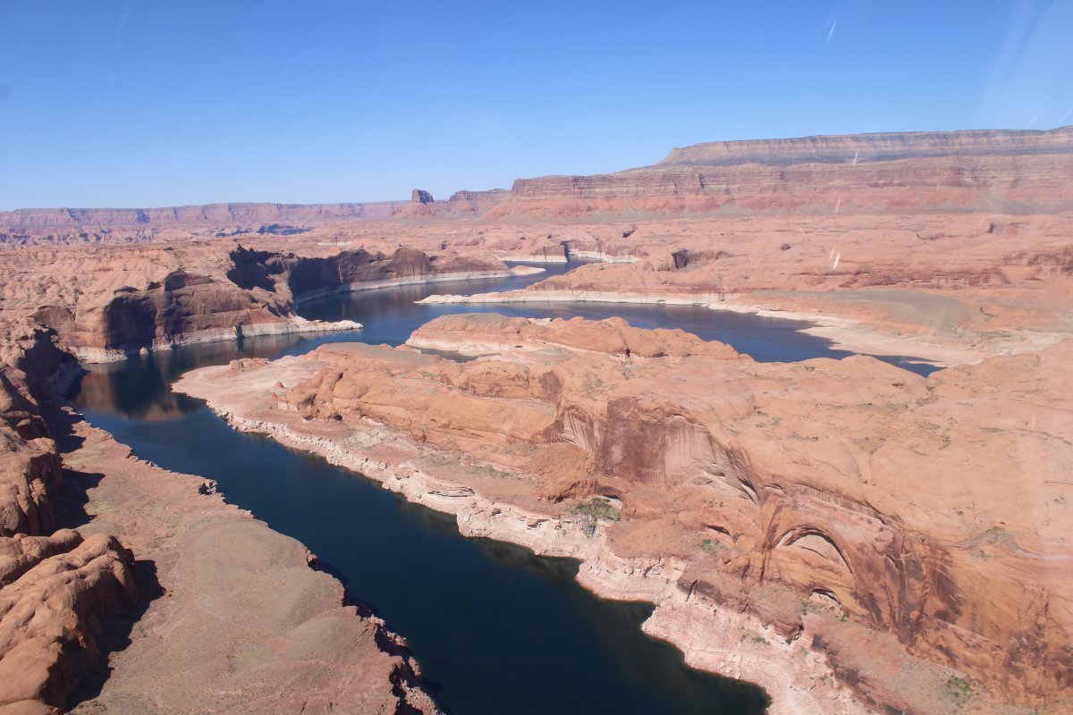
| Looking back towards the Lake Powell/San Juan River. |
| |
 |
|
|
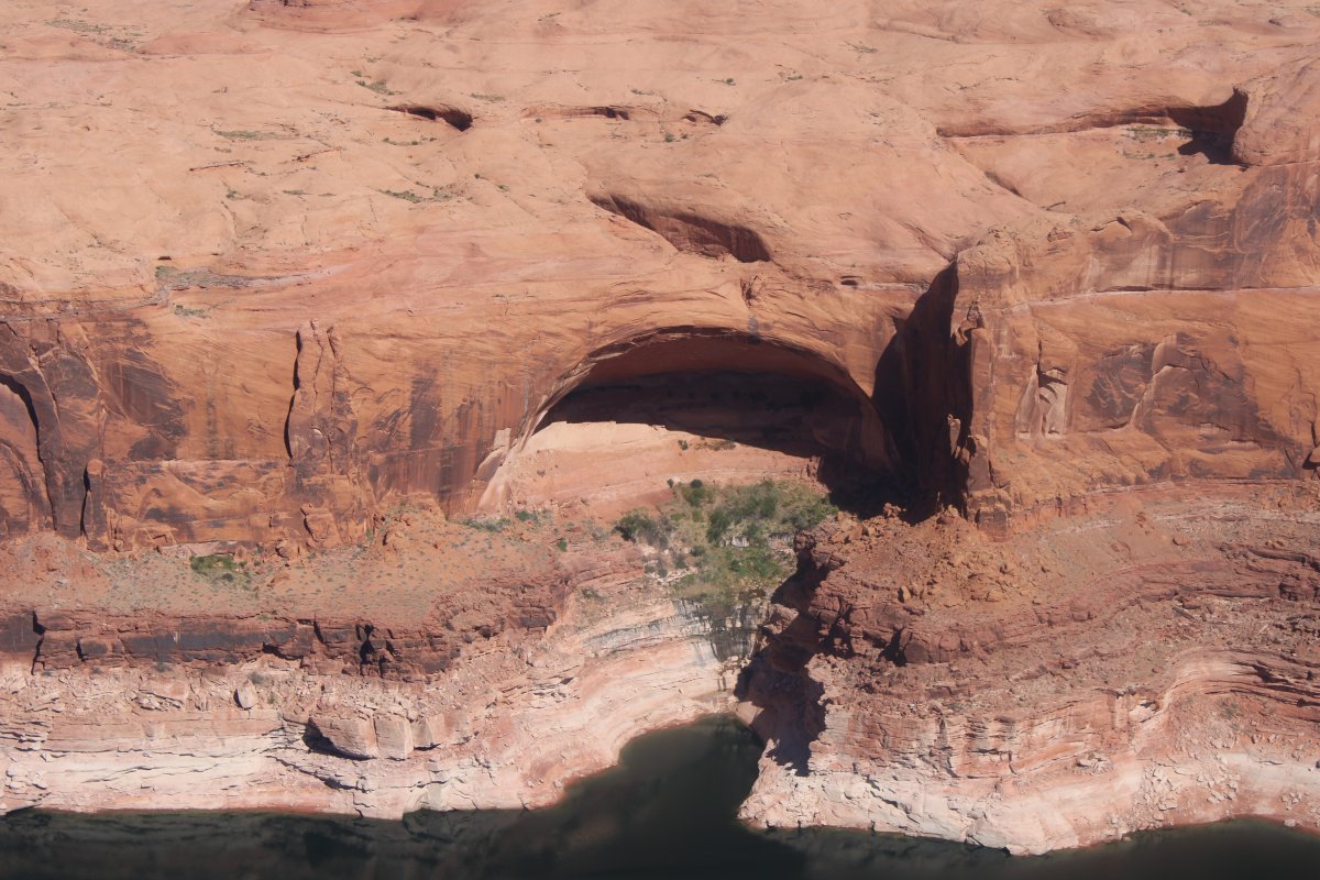
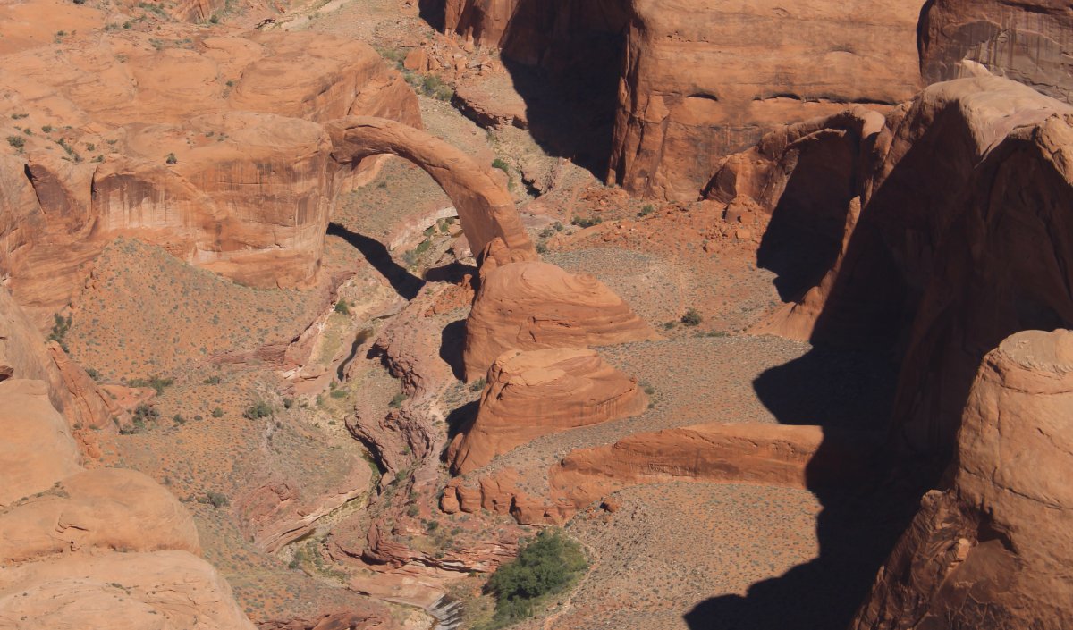
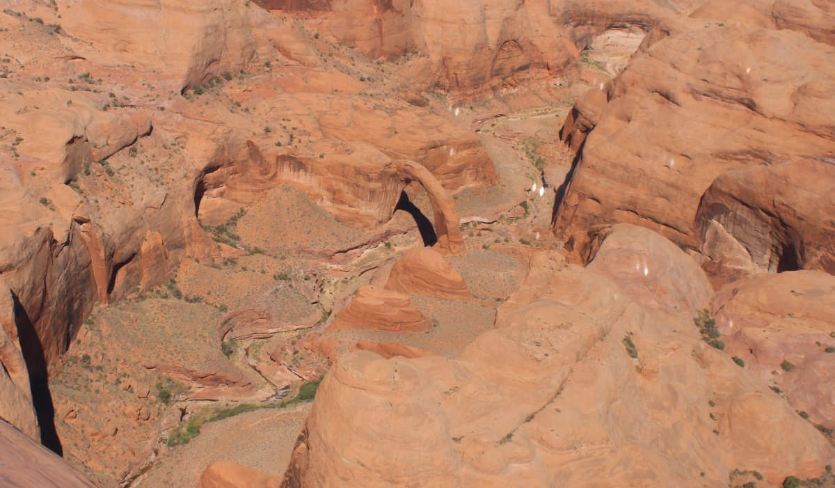
And there it is! Rainbow Bridge! After all that time, I finally see it.
|
| |
 |
|
| A close-up. Rainbow Bridge was designated a National Monument in 1910. |
| |
 |
|
|
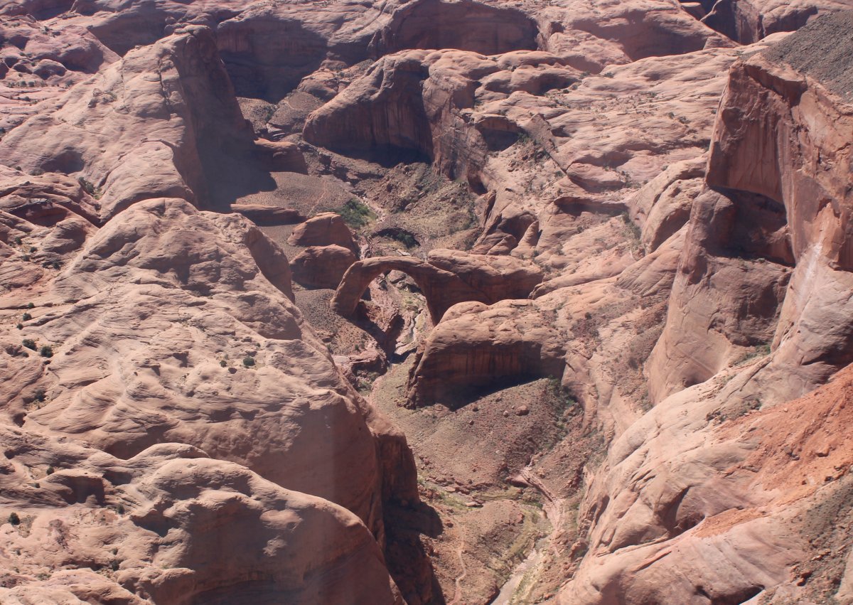
From another angle.
|
| |
 |
|
| The Bridge Wharf is visible at lower center. |
| |
 |
|
| One of the conditions for the approval of the Glen Canyon Dam, which created Lake Powell, was that Rainbow Bridge could not be submerged. Glen Canyon Dam was authorized in 1956. By 1963, the gates on the dam closed and rising Lake Powell began to engulf the river and its side canyons. Higher water made motorboat access to Rainbow Bridge much easier, bringing thousands of visitors each year. |
| |
 |
|
| |
| |
|
|
|
|
|
|